


![]()
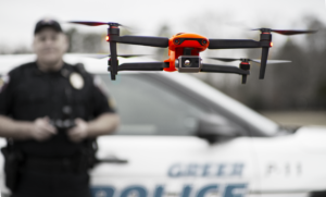
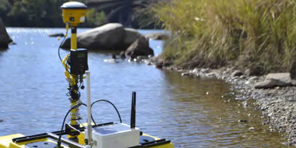
Public Safety users of Pix4D benefit from training specifically focused on Public Safety application of the software. Different than generalized training (which misses many of the nuances and processes required for Public Safety users), focused training provides greater confidence and competency when working with Pix4DMapper. Additionally, chain of custody, CJIS-compliance, placing checks in the data capture process to create a solid data capture and analysis background, Public Safety is unique in its use of Pix4D and other analysis and modeling tools.
SMG training for Pix4D focuses on the needs of the specific vertical use. Officers, firefighters, arson investigators, detectives, CSA’s, and other public safety users of the software will find familiar language, datasets, and workflows which are common, comfortable, and consistent with other training events and exercises found in public safety programs.
Online or in-person
In our two day training course, attendees will learn all aspects of importing, calibrating, processing, and archiving data, as well as best practices for transporting the scene datum to other internal departments and external share of data. Attendees will use data sets (supplied by SMG) relevant to public safety practices (arson, traffic, homicide), ensuring the scenarios are familiar and relevant.
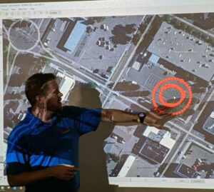
Attendees will learn to properly file and label data (Pix4D transports best with a specific file structure), import data to Pix4D, properly select coordinate datums, and set up the project. Verification of data capture, how to retrieve flight verification, and ensure an entire area was properly captured, and prep for processing are all part of the first day of training.
Once the project has been set up for processing, attendees will learn the most efficient methods of prepping the data for best-practices deliverables, storing quality reports as part of the case file, and understanding process documentation.
DAY ONE TRAINING:
Online-only, blended Online/In-person, or In-person
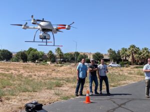
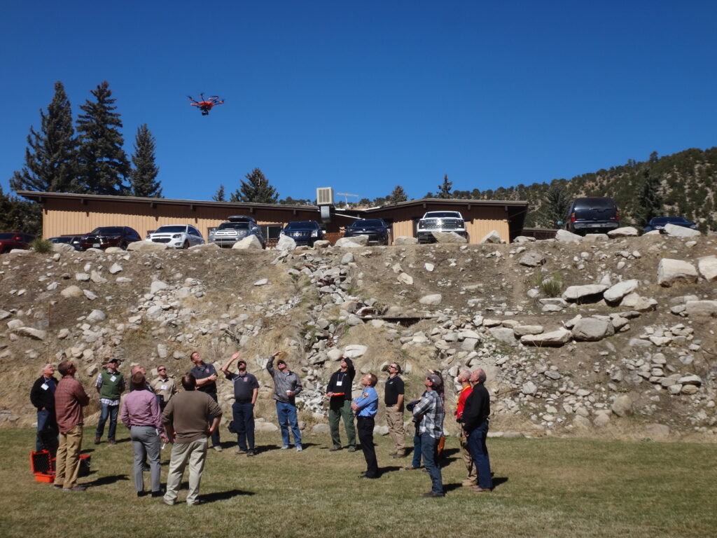
Our most popular offering, the three-day course provides live flight training to officers and CSA personnel.
Live flight training instructs the proper spin-up of the flight, ensuring data is cleanly captured on the first flight, with a focus on both overall scene capture for investigators, as well as data capture for measurables, evidence, and clean deliverables. In this course, attendees will also learn to co-operate remotely piloted aircraft with cell phone photos, crime scene photos, ground-based elements and other data capture. Upon completion of this course, pilots should be confident and competent in the planning and execution of flight for clean, quality-driven data capture, and processing of images for photogrammetry and point cloud delivery in various formats.
*The in-person class includes live flight/training. SMG provides aircraft
DAY TWO TRAINING:
DAY THREE TRAINING:

Pix4DReact training is included in our Pix4DMapper classes for Public Safety at no additional cost.
Contact KukerRanken Portland or KukerRanken Las Vegas for information, dates, costs, and training programs.
Pricing is structured for municipalities, agencies, and individuals.
All training is bespoke; manuals, work product, and curriculum is variable by agency or individual needs. Prior to scheduling a training course, we prefer to discuss specific needs for specific courses in order to ensure agency expectations, CE, and other and needs are clearly met.
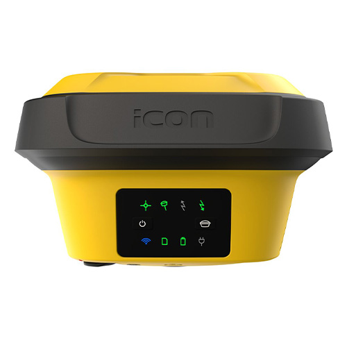


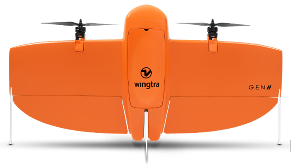
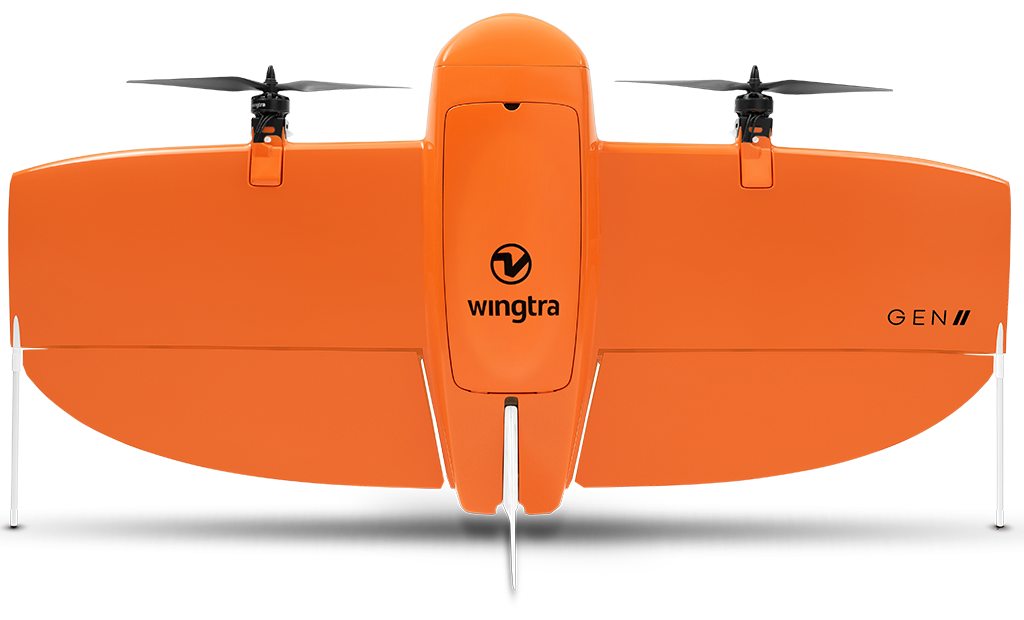
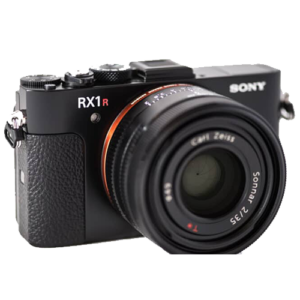
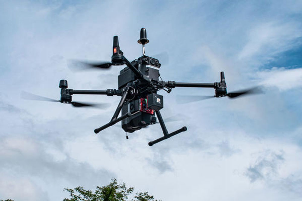
Fast and accurate survey data every time.
WingtraOne is an easy-to-use drone that delivers consistent, high-quality survey data faster and at a lower cost than other surveying tools.
A mapping drone for fast and accurate surveying data every time
![]()
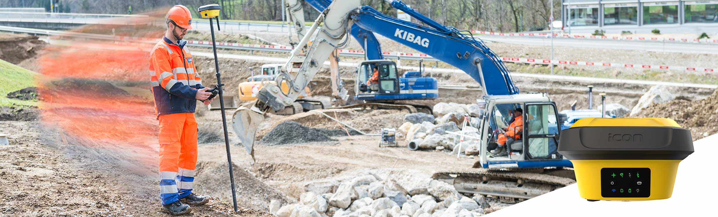
The WingtraOne mapping drone’s unique set of features empowers you to minimize your time flying and get more work done, be it another project in the field or analyzing your data at the office.
Efficient fixed-wing flight
Fly at 16 m/s (36 mph) for up to 59 minutes per flight for large coverage.
61 MP camera
WingtraOne can fly higher than drones limited to 20 MP cameras, so you capture more ground and more detail with every picture and a larger area per flight.
No more GCPs, checkpoints only
With an onboard high-precision PPK GNSS receiver you no longer need to lay out ground control points (GCPs). Use as few as three checkpoints to verify your map quality.
Lower image overlaps
High quality optics means you can reconstruct your map reliably even with lower overlaps. This means more new ground covered per flight line and maximum coverage per flight.
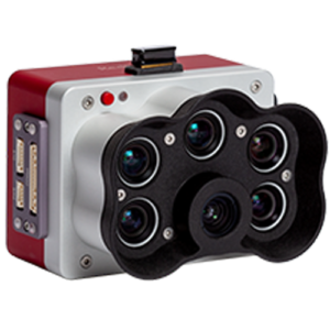

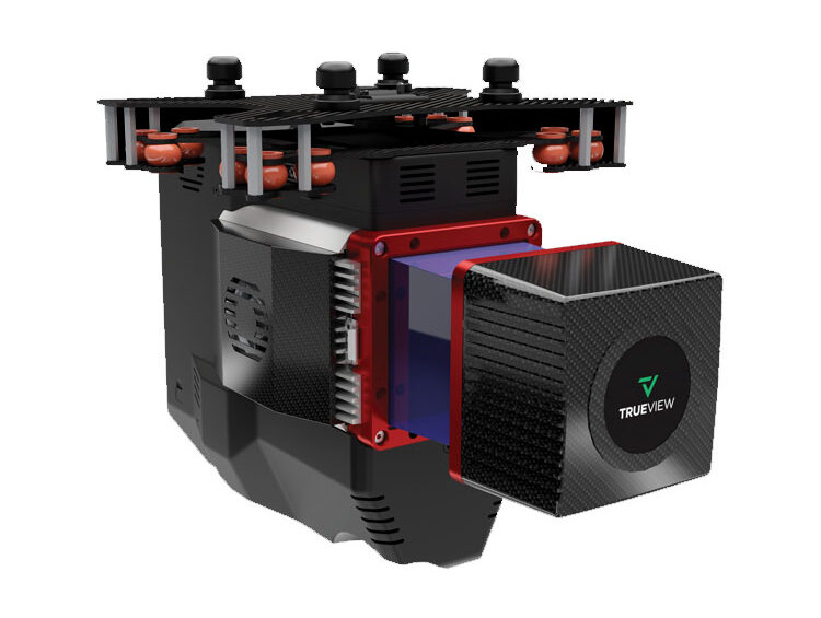
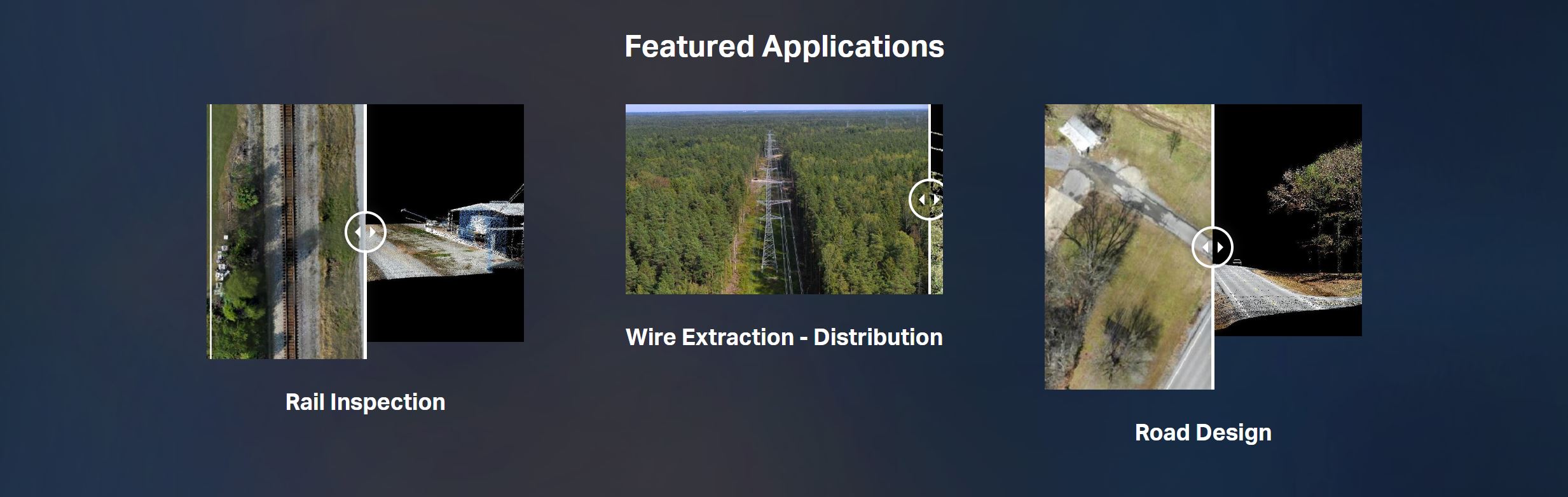
The TrueView® 655/660 is GeoCue’s third generation RIEGL integration built with the miniVUX-3UAV and triple mapping cameras (right, left, nadir) for high accuracy mapping with excellent vegetation penetration and wire detection in a lightweight payload package.
*Drone not included
| Specification | Value |
|---|---|
| Data Collection | LIDAR + Imagery |
| LIDAR Scanner | RIEGL miniVUX-3UAV |
| LIDAR Beams/Returns | Up to 5 per outgoing pulse |
| LIDAR Range – usable | 100 m for targets with > 20% reflectivity |
| Positioning and Orientation System | (655) Applanix APX-15 | (660) Applanix APX-20 |
| Pulse Repetition Rate | Up to 300 kHz (selectable)* |
| Accuracy | Better than 3 cm RMSE (655) / 2.5 cm (660) |
| Precision | (655) Better than 2.5 cm at 1 σ | (660) Better than 2 cm at 1 σ |
| Camera Sensor | 3 Sony IMX-183: 1”, 20 MP, RGB -> 60 MP per payload |
| Mass | (655) 2.4 kg | (660) 2.5 kg |
ACCESSORIES/PARTS
SOFTWARE
DATA MANAGEMENT
SUPPORT
![]()
21601 66th Ave. West, Unit A
Mountlake Terrace, WA 98043
United States
Toll Free: 800-454-1310