


What is Leica Livelink
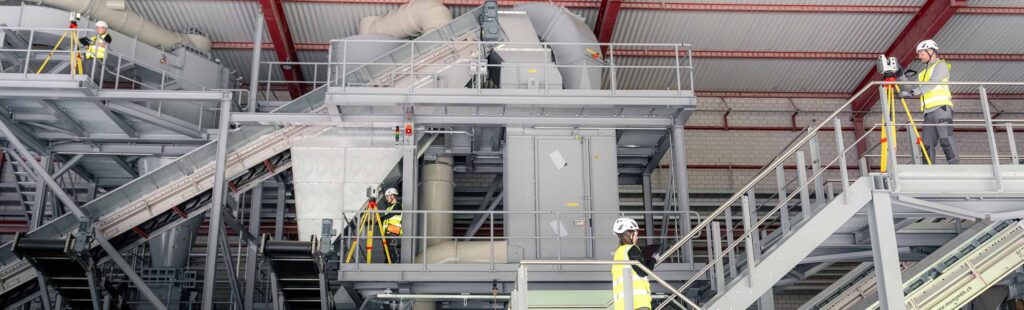
Leica Livelink: Connecting the Field and Office in Real Time In today’s fast-paced surveying, construction, and reality capture environments, access to accurate information at the right time can make the difference between staying on schedule and costly project delays. Leica LiveLink is designed to bridge the gap between field crews and office personnel by providing […]
The AI Revolution Has Arrived in Land Surveying. Meet the Leica TS20

The AI Revolution Has Arrived in Land Surveying — Meet the Leica TS20 Land surveying has always been about precision, skill, and trust in your instruments. But today, the industry is entering an exciting new era — one where Artificial Intelligence is now working alongside surveyors in the field. Leading this transformation is the Leica […]
We Service Alaska!

At Kuker-Ranken, we are committed to delivering high-quality construction and land surveying products that address the unique challenges posed by Alaska’s stunning yet rugged landscapes.
Autel EVO Max 4T Thermal Drone

As a drone pilot with Kuker-Ranken, I’ve been fortunate to fly a variety of drones from different manufacturers across diverse landscapes, and my recent experience with the EVO Max 4T at a ski resort in California truly stood out.
Leica GPR C-Thrue Scanner! Can you really look inside a concrete slab?
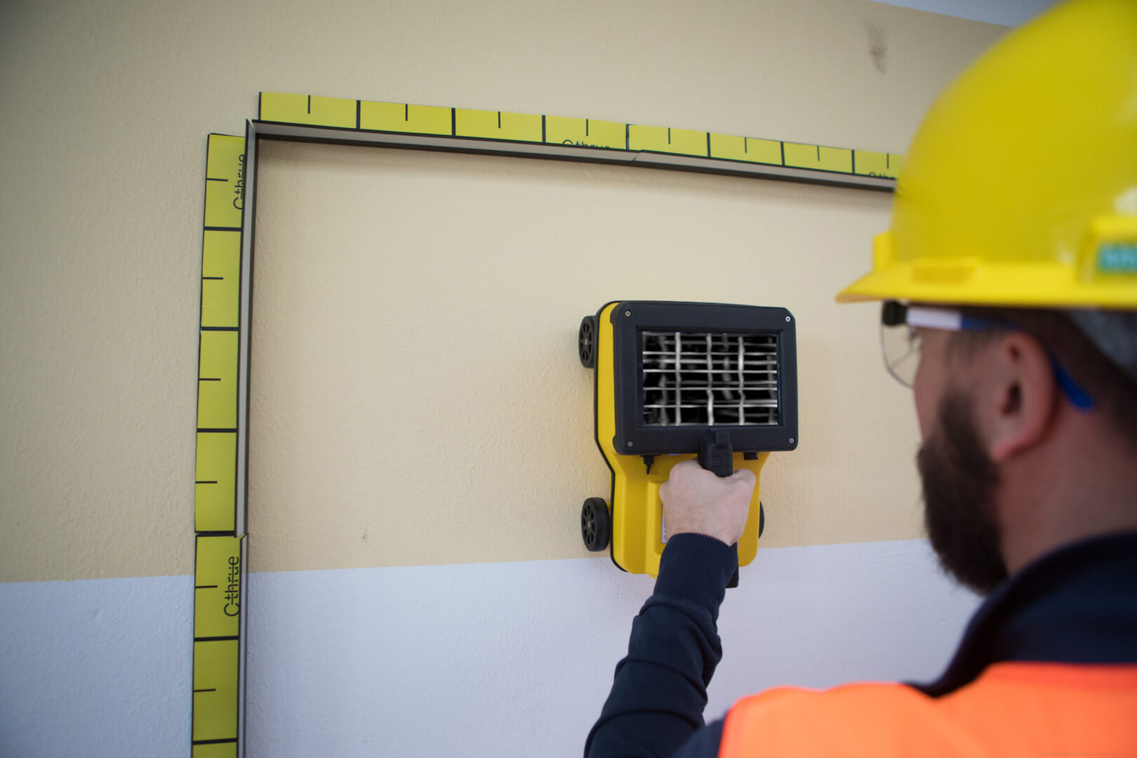
Unlocking New Possibilities with the Leica GPR C-Thrue Concrete Scanner! Can you really look inside a concrete slab before breaking into it? If you haven’t heard about the Leica C-Thrue Scanner yet, you’re in for a treat. This little powerhouse is revolutionizing the way we think about 3D scanning and measurements, and trust me, it’s […]
The Year of LiDAR
2022 is clearly the year of LiDAR. At all of the UAS shows in the USA, Mexico, Canada, and EU, the hot topic is LiDAR in 2022, and 2023 is ramping up to be more of the same, with significant growth. LiDAR is a “LIght Detection And Ranging” sensor, utilizing a laser, position-controlled mirror, an […]
CONTROLLABILITY CHECKS REQUIRED FOR UAS FLIGHT
Whether flying for the jobsite or flying for fun and family enjoyment, safety is always paramount with UAS (drones). There are the Federal Aviation Administration (FAA) regulations, also known as the FARs, and then there are the “Common-Sense” operational actions that all pilots, regardless of why the drone is flying, should be enacting prior to […]
3 Months FREE PROCESSING
THREE MONTHS FREE PROCESSING! Purchase a Microdrones MD1000HR between today and May 27, 2022, and save nearly $4000.00 in processing costs. When a Microdrones MD1000HR is purchased, customers typically purchase one year of limited access data processing. However, for this limited time, KR and Microdrones are offering three free months of unlimited processing, until May […]
RTK CAPABLE DRONES/UAS for SURVEY, CONSTRUCTION, ENGINEERING
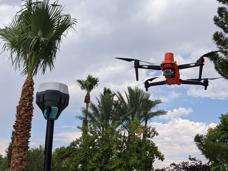
SAVE TIME, GENERATE GREATER REVENUE WITH AERIAL TECHNOLOGY Real-Time Kinematic (RTK) corrections bring significant precision to unmanned aircraft and workflows, even to the point of achieving repeatable precision within 1cm of actual position in a localized dataset. Adding RTK to an unmanned aircraft enables real-time correctional data to be sent to the aircraft, allowing the […]
Viva Las Vegas (LiDAR Excitement)
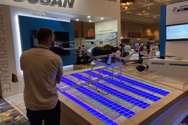
Commercial UAV Expo effervesces in LiDAR and Face to Face gathering DR. A. STEWART WALKER 09.22.2021 Diversified Communications is the very model of a modern conference company, but even its most experienced managers must have harbored slivers of doubt as they prepared the Commercial UAV Expo Americas, in the Mirage, Las Vegas, on 7-9 September. […]


