


Description
TrueView 655/660 3D Imaging System With Three Cameras
The TrueView® 655/660 is GeoCue’s third generation RIEGL integration built with the miniVUX-3UAV and triple mapping cameras (right, left, nadir) for high accuracy mapping with excellent vegetation penetration and wire detection in a lightweight payload package.
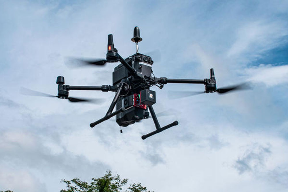
*Drone not included
| Specification | Value |
|---|---|
| Data Collection | LIDAR + Imagery |
| LIDAR Scanner | RIEGL miniVUX-3UAV |
| LIDAR Beams/Returns | Up to 5 per outgoing pulse |
| LIDAR Range – usable | 100 m for targets with > 20% reflectivity |
| Positioning and Orientation System | (655) Applanix APX-15 | (660) Applanix APX-20 |
| Pulse Repetition Rate | Up to 300 kHz (selectable)* |
| Accuracy | Better than 3 cm RMSE (655) / 2.5 cm (660) |
| Precision | (655) Better than 2.5 cm at 1 σ | (660) Better than 2 cm at 1 σ |
| Camera Sensor | 3 Sony IMX-183: 1”, 20 MP, RGB -> 60 MP per payload |
| Mass | (655) 2.4 kg | (660) 2.5 kg |
In the box:
HARDWARE
- True View 655/660 3D Imaging Sensor
ACCESSORIES/PARTS
- External Power Adaptor (Drone Specific, M300 Cable Pictured)
- USB
- GNSS Antenna
- Sensor Hardcase
SOFTWARE
- LP360 Drone Processing Software
- Includes Strip Align and Desktop Photo Add Ons
DATA MANAGEMENT
- Access to LP360 Cloud
SUPPORT
- 1 year of hardware and software support
- 2 days of free training at our Huntsville Headquarters


Reviews
There are no reviews yet