


The Largest Construction and Land Surveying Technology Supplier in the Northwest.
Showing 493–504 of 692 results
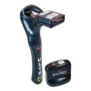
The complexity of underground utility networks is continually increasing, and obtaining precise information on the location of buried utilities has never been more important. The protection of buried assets during excavation work demands accurate mapping and surveying of existing utilities.
![]()
Location data is a commodity that underpins decision making no matter the industry. The Leica Zeno FLX100 smart antenna captures spatial data in a simple and flexible way allowing you the freedom to work how you want.
![]()
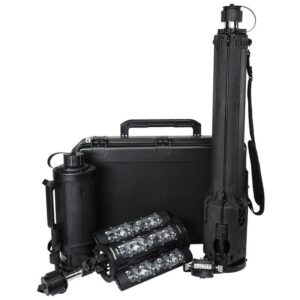
The FoxFury Nomad® Transformer Scene Light and Discover Tilt White LED Headlamp / Helmet Light join together to create the ideal Field Kit. Use the Discover Headlamp / Helmet Light to illuminate your work space when setting up or storing the Nomad® Transformer Scene Light.
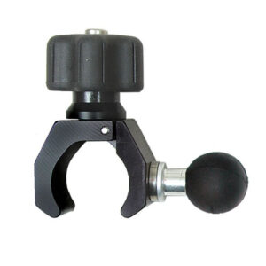
Seco 5200-160 Claw Clamp with 1 inch Ball – Plain
Comes with no-crush bipod head, which prevents crushing of carbon fiber range or prism poles even when excess force is used
![]()
The R20 range is composed of 3 versions, the R20 1000 m model with 2″ angular accuracy, the R20 1000 m model with 1″ angular accuracy and the R20 600 m model with 2″ angular accuracy.
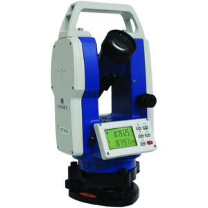
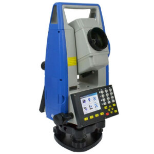
STT402L offers the opportunity to challenge high-precision monitoring and engineering works. Thanks to its absolute encoder, angle measurements are saved when STT402L is switched off. Low power consumption gives more than 80 hours working time.

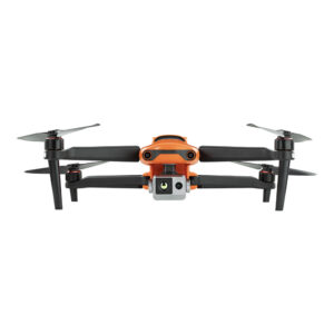
Equipped with a 640 x 512 high-resolution thermal imaging camera featuring a 13mm focal length lens and 16x digital zoom, it is easier than ever to observe distant targets. The system uses a new image processing algorithm, making thermal details clearer and more discernible than other options with similar resolution and hardware.

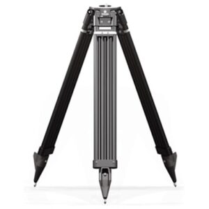
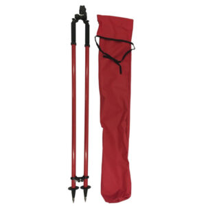
Dutch Hill GT2000CF Carbon, Fiberglass Tripod
Land surveying tripod with carbon/glass fiber reinforced legs, weighs 11.2 lbs. Available in yellow or black. Made in the USA.
![]()
21601 66th Ave. West, Unit A
Mountlake Terrace, WA 98043
United States
Toll Free: 800-454-1310