

Showing 181–192 of 296 results
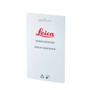
SPF04, Set of 2 display protection foils including micro fibre cleaning cloth.
![]()
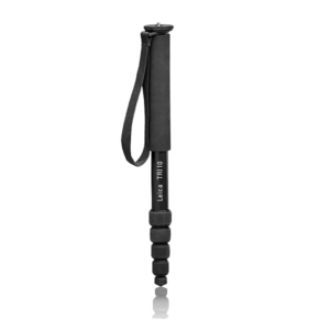
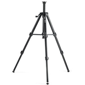
Quality tripod with bubble level, very easy fine adjustment, for DISTO and all Linos.
![]()
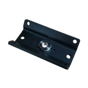
The mounting bracket is to be used with a trivet assembly that provides a platform for the pipe laser to be used on any surface.
![]()

The complexity of underground utility networks is continually increasing, and obtaining precise information on the location of buried utilities has never been more important. The protection of buried assets during excavation work demands accurate mapping and surveying of existing utilities.
![]()
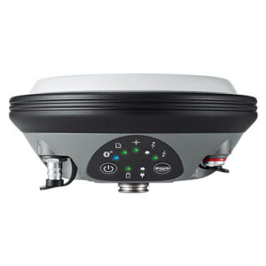
The Leica Viva GS16 is a powerful self-learning GNSS smart antenna. The growing number of signals from ever-increasing satellite constellations demands the GNSS receiver to be smart and reliable.
Leica Geosystems
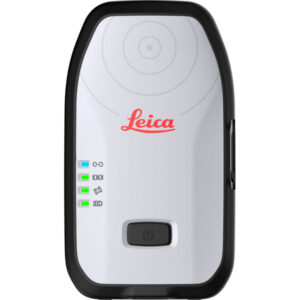
Location data is a commodity that underpins decision making no matter the industry. The Leica Zeno FLX100 smart antenna captures spatial data in a simple and flexible way allowing you the freedom to work how you want.
![]()
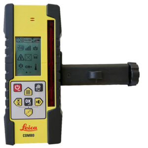
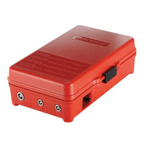
CLC Remote / Receiver Combo with Bracket and Charger (Internal Li-Ion Battery)
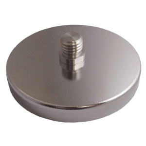
Leica flat magnetic mount for targets with 5/8″ x 11 threaded post, for mountin on flat steel surface.
![]()
Battery box GEB63 for autocollimation eyepiece and eyepiece lamp
![]()
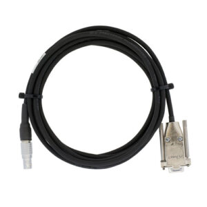
GEV162, 2.8m Data transfer cable, for RX port. Lemo to 9 pin RS232 connector. Connects GPS Receiver to PC for data transfer, firmware upload etc.![]()
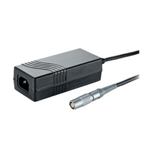
Leica GEV242 Professional 5000 charger for GEB371 external battery. Charges one Leica GEB371 battery.
![]()
![]()
21601 66th Ave. West, Unit A
Mountlake Terrace, WA 98043
United States
Toll Free: 800-454-1310