lidar
Showing all 13 results
-
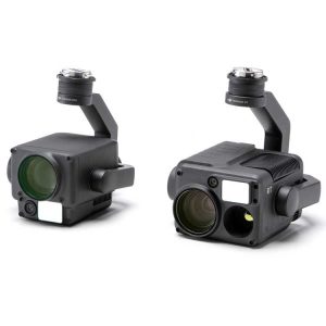
DJI Zenmuse H20 /H20T Series
$3,639.00 – $11,799.00 Select options This product has multiple variants. The options may be chosen on the product page -
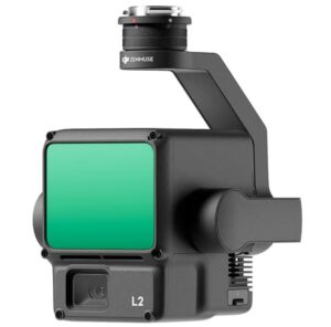
DJI Zenmuse L2 – Lidar + RGB High Precision Aerial System
Read more -
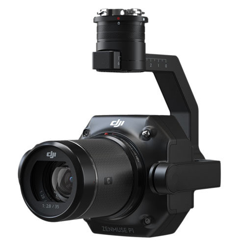
DJI Zenmuse P1 – Full Frame Photography Payload
Read more -
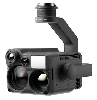
DJI Zenmuse H20N
$9,239.00 – $9,737.00 Select options This product has multiple variants. The options may be chosen on the product page -

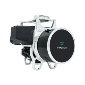
Geocue Trueview 1 and Trueview 1 Lite
Read more -
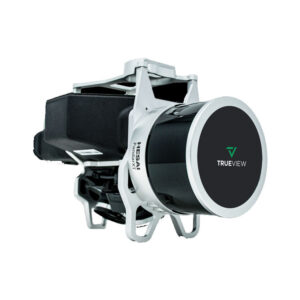
Geocue Trueview 435
Read more -
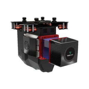
Geocue Trueview 515
Read more -
Geocue Trueview 655/660
Read more -
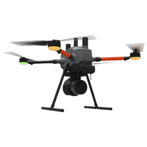
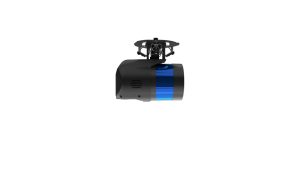
Microdrone EasyOne LidarUHR Series
Read more -
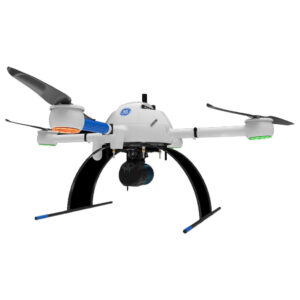
Microdrone mdLiDAR1000 UHR
Read more -
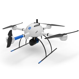
Microdrone mdLiDAR1000HR aaS
Read more -
Microdrone Payload mdLiDAR1000HR aaS
Read more -
Microdrone Payload mdLiDAR1000LR aaS
Read more