


Description
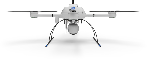
Microdrone Payload mdLiDAR1000HR aaS*
![]()
*Drone not included
mdLiDAR1000HR: HR means high resolution pointclouds and increased coverage is made easier and more accessible than ever. This is the UAV, hardware, software, workflow, training and support that surveying professionals need.
[su_image_carousel source=”media: 12445,12444,12443,12442,12441,12440,12439″ slides_style=”photo” crop=”21:9″ columns=”3″ align=”center”]
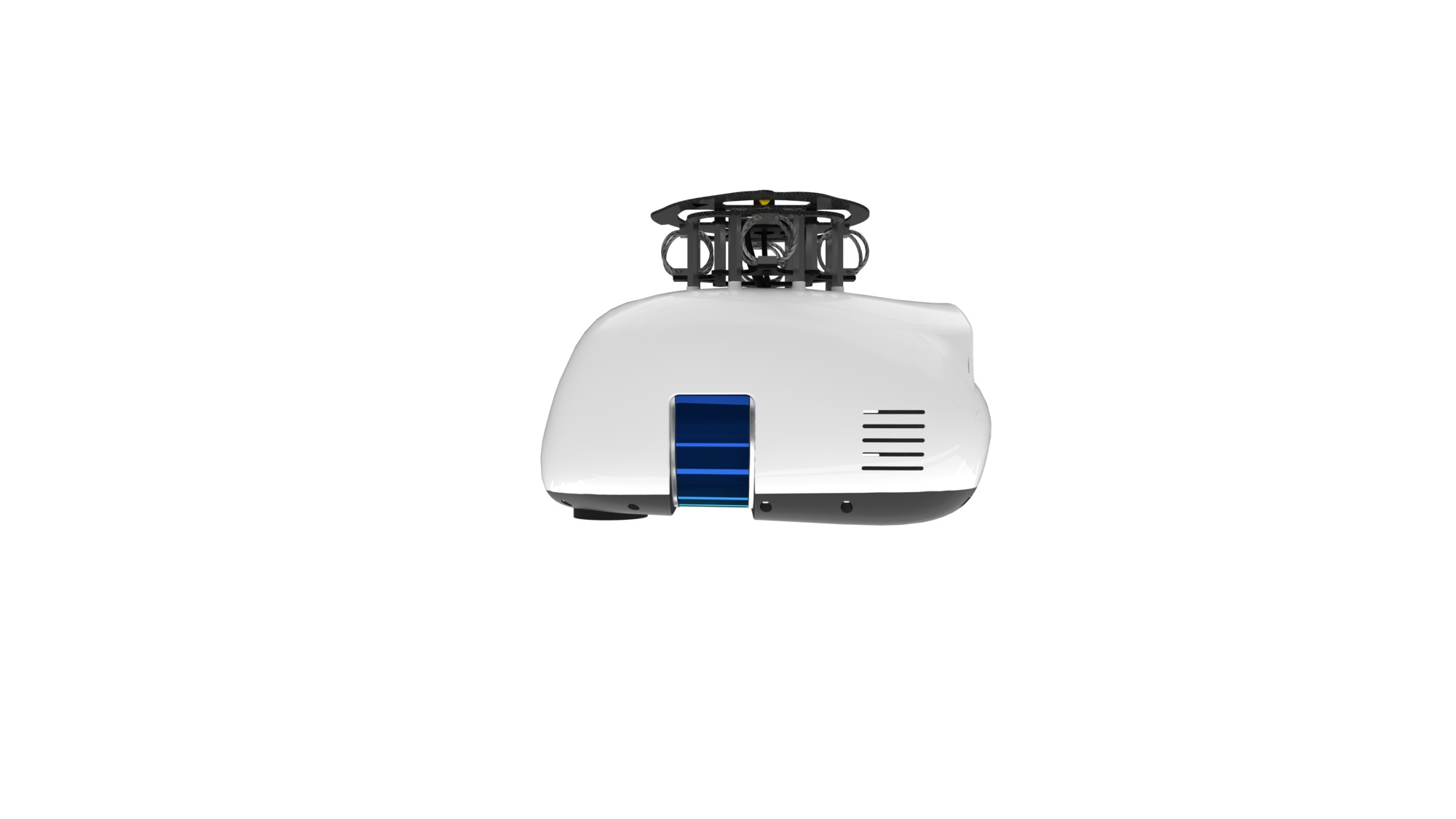
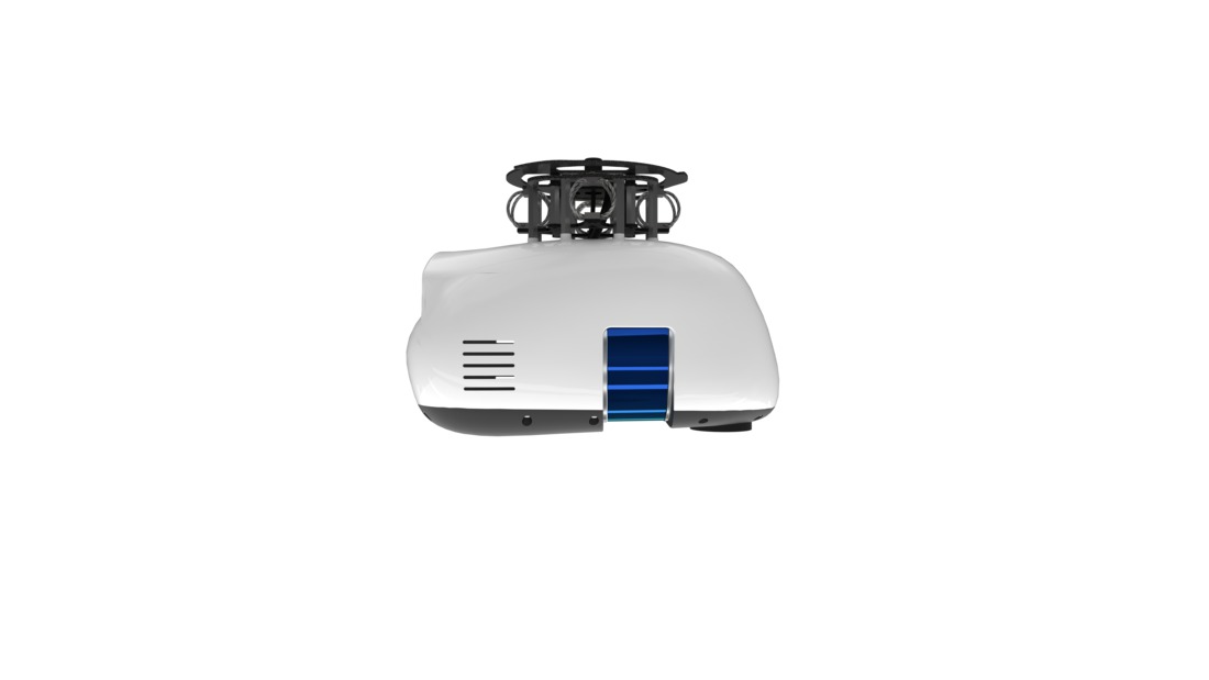
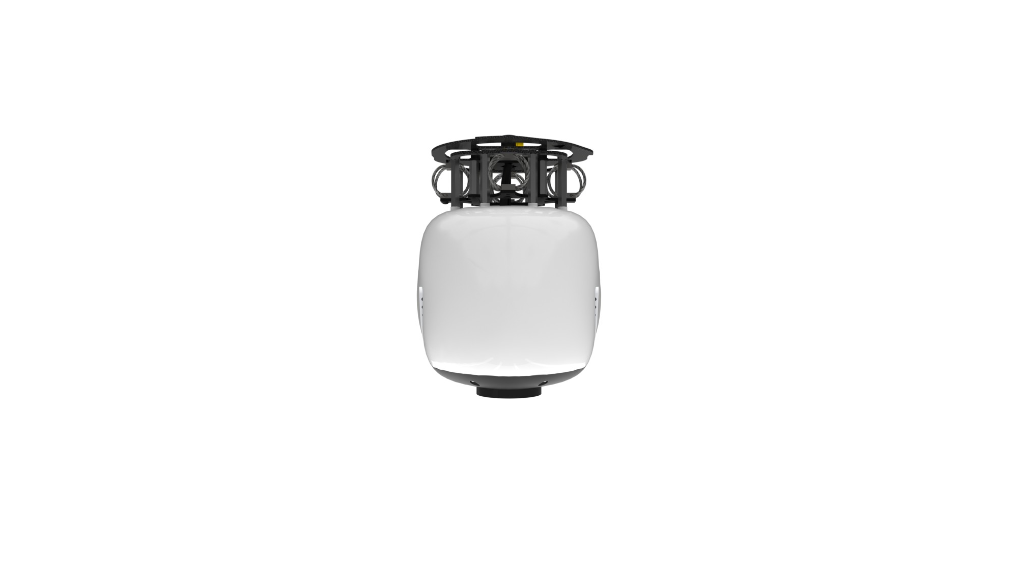
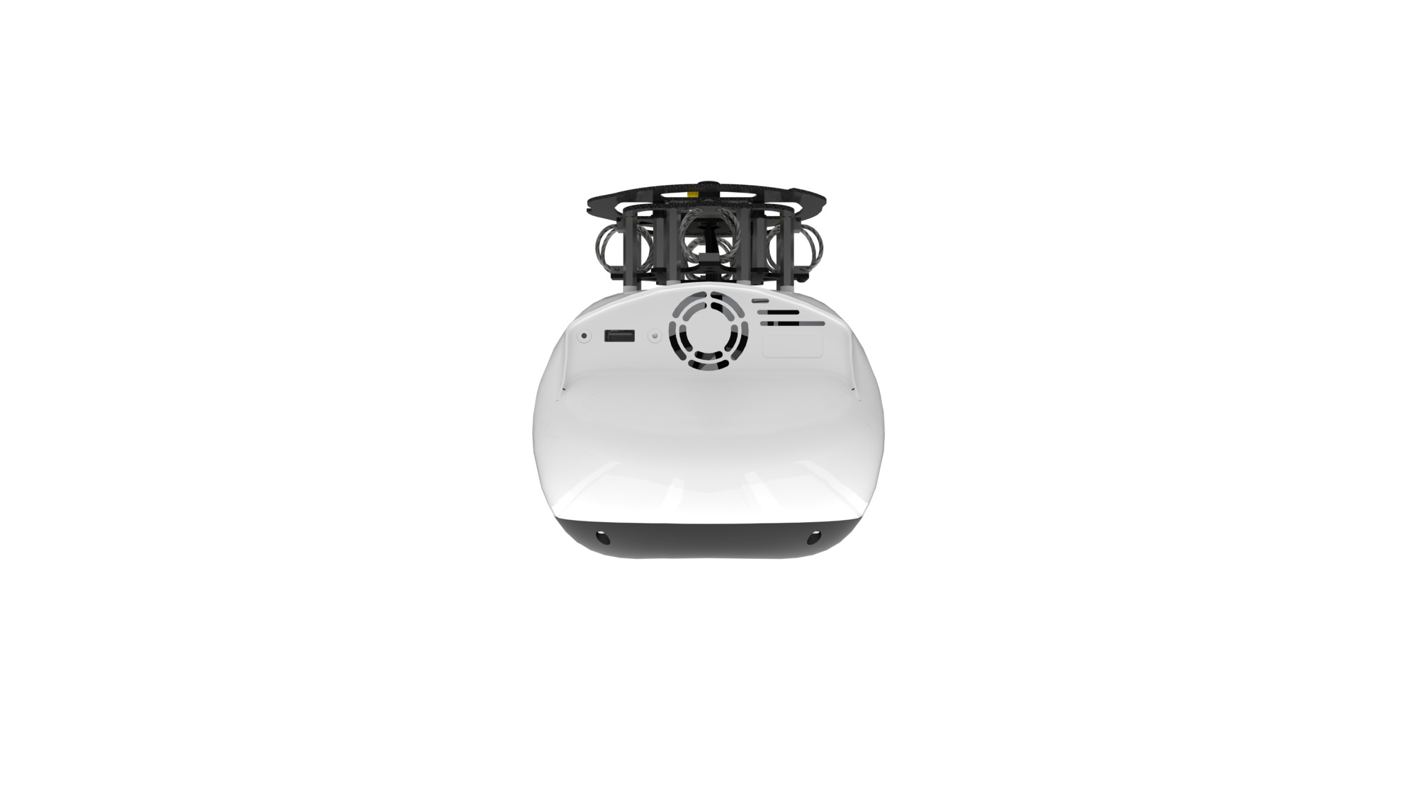
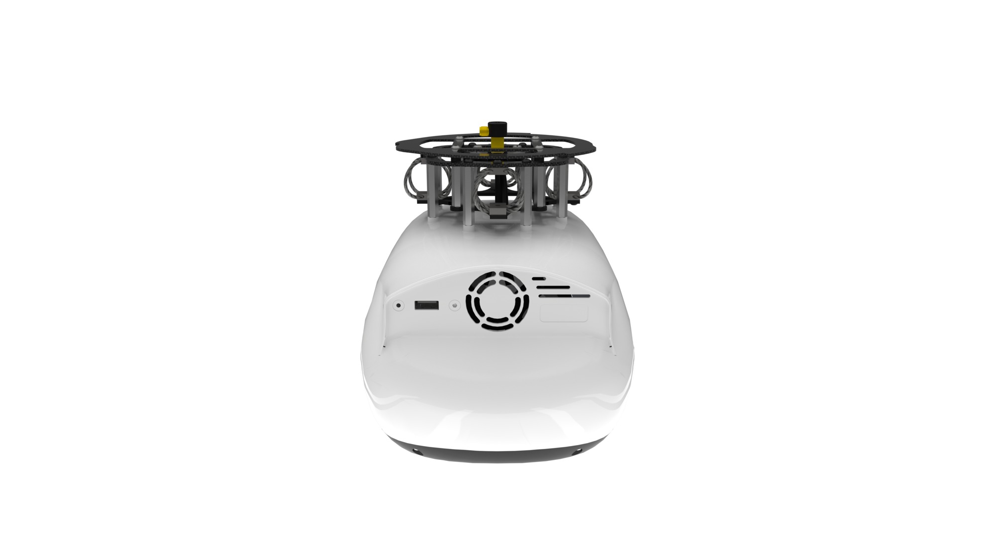
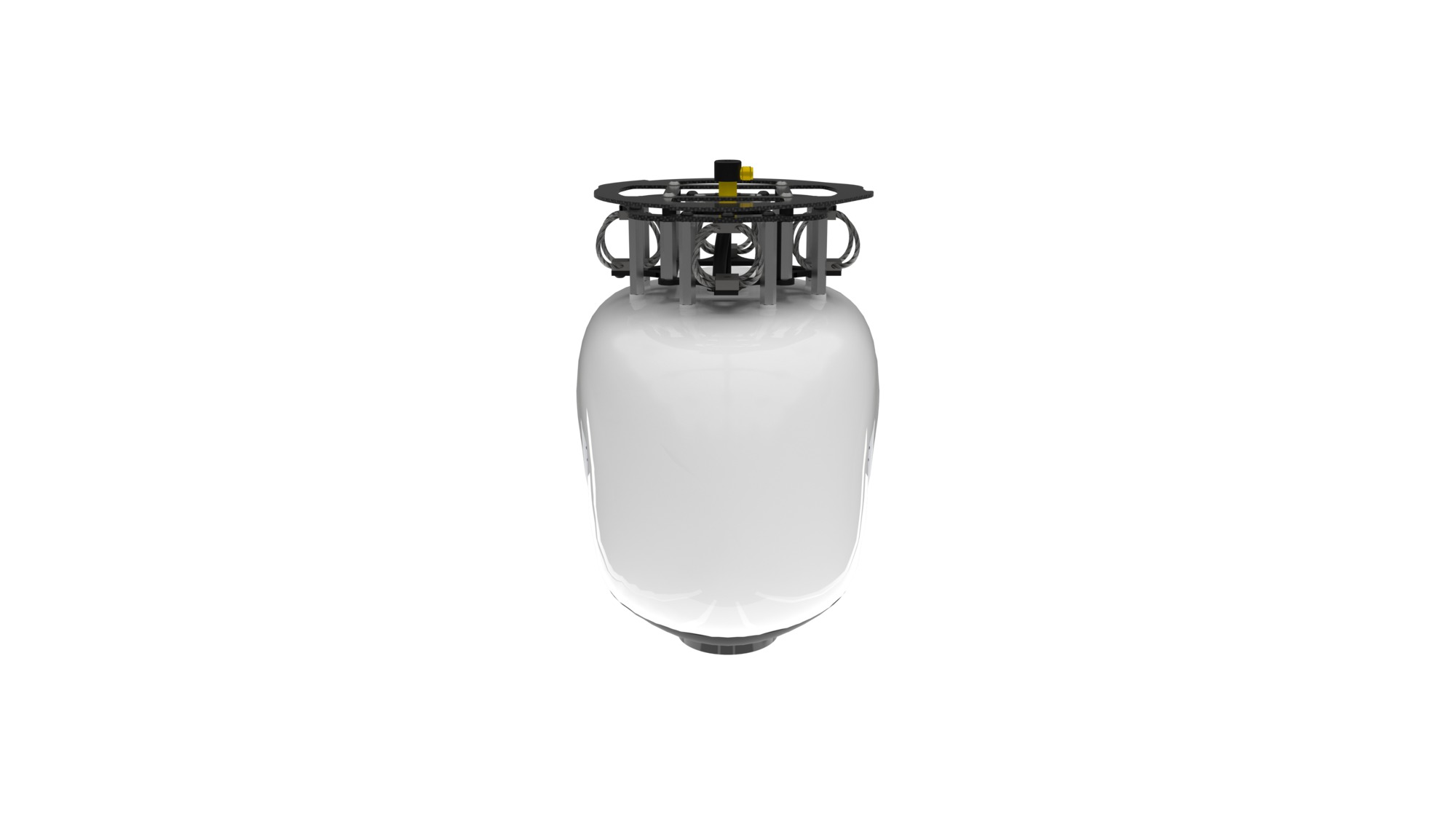
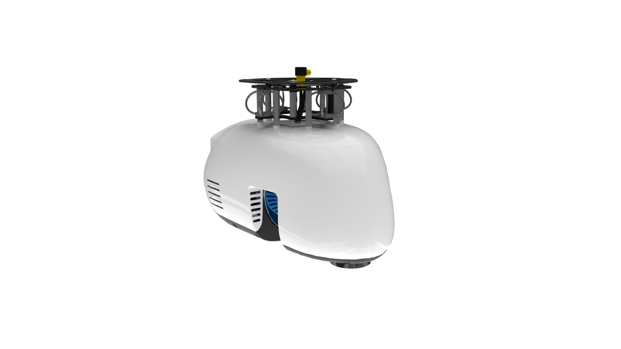
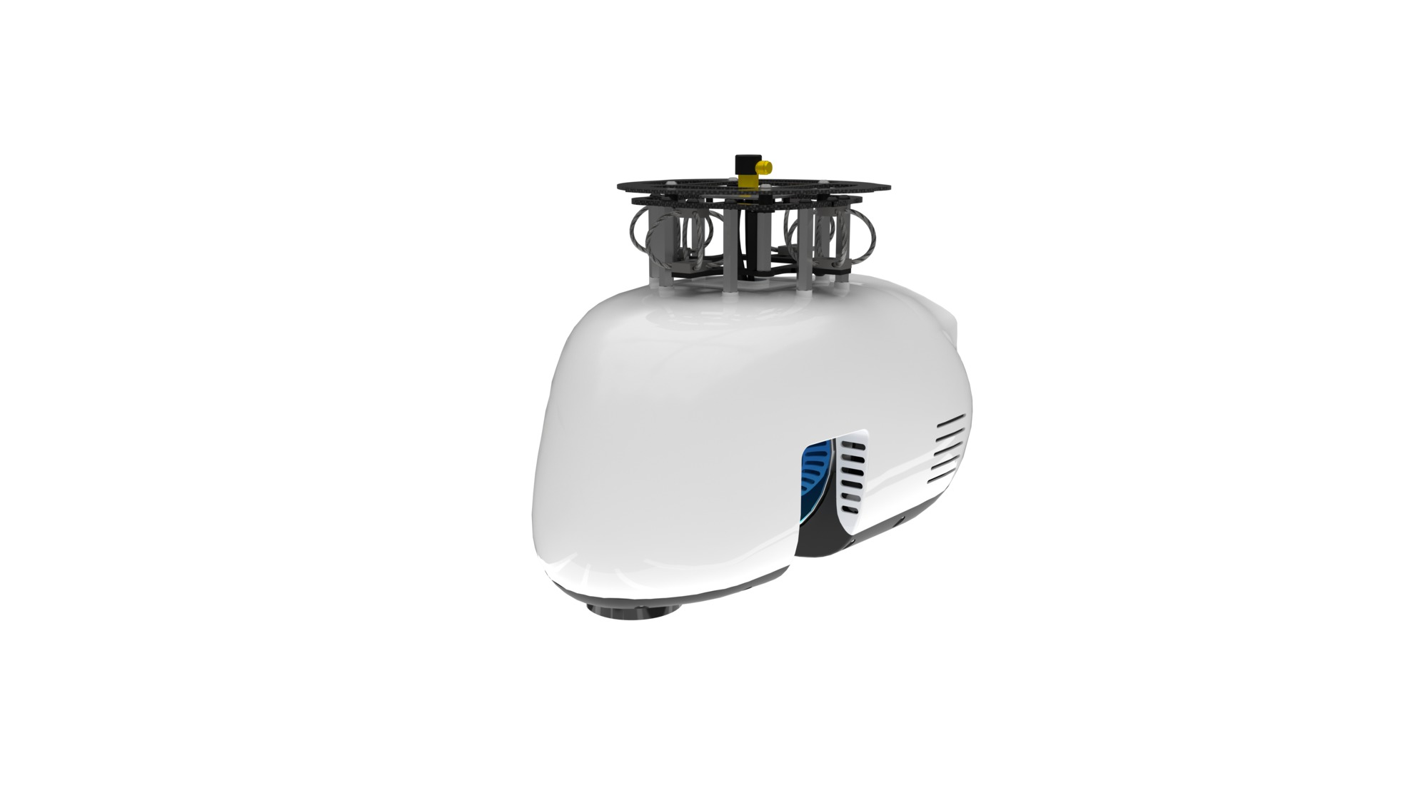
Fully Integrated High Resolution LiDAR & Camera
A lightweight, downward oriented LiDAR solution that efficiently scans up to a 90 degree field of view.
Payload
- LiDAR Sensor: Velodyne PUCK VLP-16
- Camera Sensor: SONY IMX264
- Georeferencing: APX-15 UAV
System Accuracy
- LiDAR Pointcloud
- 4 cm RMSE
- Photogrammetry:
- Horizontal: 1 – 2 pixels
- Vertical: 3 – 4 pixels


Reviews
There are no reviews yet