Description


 rayCloudtm
The power of photogrammetry software
A unique environment connecting your original images to each point of the 3D reconstruction to visually verify and improve the accuracy of your project.




Price range: $370.00 through $5,990.00
PIX4Dmapper is professional photogrammetry software that transforms aerial and ground-based images into accurate, measurable 2D maps and 3D models. Designed for surveying, mapping, construction, and geospatial applications, it provides powerful processing tools for creating detailed deliverables from drone imagery.
Mapper to Matic — It’s Time to Make the Move
With PIX4Dmapper End of Sales coming January 1, 2027, the future is PIX4Dmatic. Built for faster processing, larger datasets, and today’s demanding surveying and mapping workflows, PIX4Dmatic is the next evolution of PIX4D photogrammetry. Upgrade now and be ready for what’s next. More about PIX4Dmatic
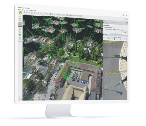 rayCloudtm
The power of photogrammetry software
A unique environment connecting your original images to each point of the 3D reconstruction to visually verify and improve the accuracy of your project.
| Product | PIX4Dmapper Monthly rental license, PIX4Dmapper Yearly rental license, PIX4Dmapper Desktop, Perpetual license |
|---|
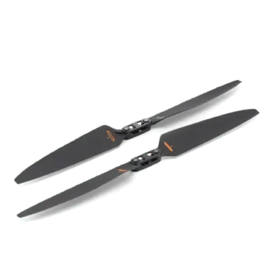
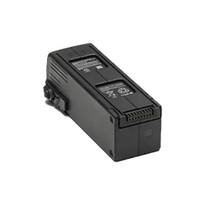
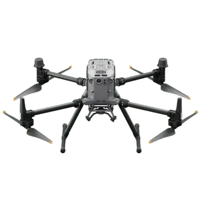

Benefit from the quality, precision and reliability of Leica Geosystems Original Accessories – perfectly suited for Leica Geosystems measuring equipment.

Leica Geosystems Original Accessories now come with unique security codes that guarantee that what you bought is truly a part of the Leica Geosystems complete solution. No other accessories compare to those developed and produced by Leica Geosystems.
Genuine Leica Geosystems Accessories
Leica Geosystems Original Accessories now come with unique security codes that guarantee that what you bought is truly a part of the Leica Geosystems complete solution. No other accessories compare to those developed and produced by Leica Geosystems.
Genuine Leica Geosystem Accessories



Learn the rules and requirements to fly your drone in accordance with the FAA’s Small UAS Rule (Part 107). This certification demonstrates that you understand the regulations, operating requirements, and procedures for safely flying drones.

Class runs from 8AM – 4PM PDT
Thursday, April 14 & Friday, April 15 2022
Thursday, May 19 & Friday, May 20
Thursday, June 16 & Friday, June 17
Thursday, July 14 & Friday, July 15
Thursday, August 18 & Friday, August 19
Reviews
There are no reviews yet