uav
Showing 1–16 of 25 results
-
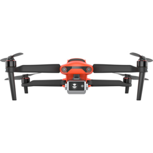
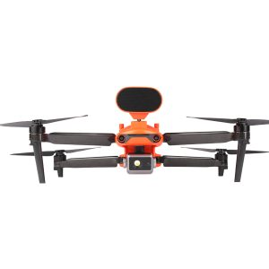
Autel Robotics EVO II Dual 640T V2 Thermal Drone Rugged Bundle 102000970
$11,000.00 Add to cart -
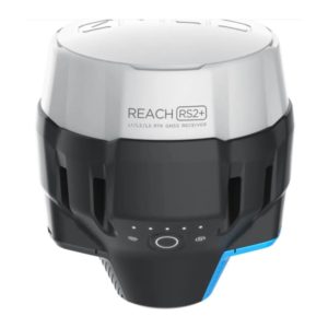
Emlid Reach RS2+
$2,499.00 Add to cart -
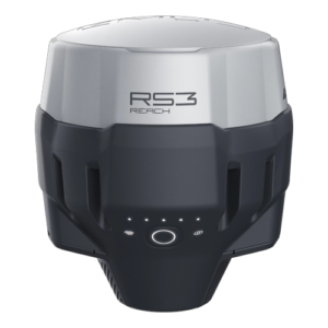
Emlid Reach RS3 RTK GNSS receiver with tilt compensation
$2,799.00 Add to cart -
Sale!
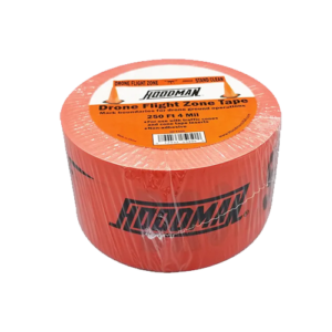
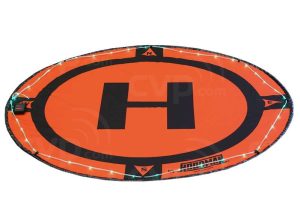
Hoodman Drone Flight Zone Tape
Original price was: $19.99.$16.99Current price is: $16.99. Add to cart -
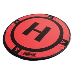
Hoodman Weighted Landing Pad (2 FT, 3 Ft, 5 Ft, or 8 Ft)
$59.99 – $429.99 Select options This product has multiple variants. The options may be chosen on the product page -
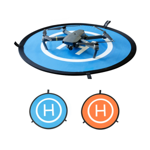
PGY 3.5′ Drone Landing Pad for Drones
$49.95 Add to cart -
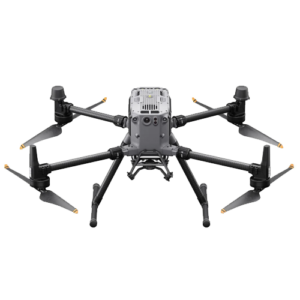
DJI Matrice 350 RTK Enterprise
Read more -
Autel Robotics EVO II 640T Enterprise Bundle 102000946
$9,200.00 Add to cart -

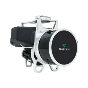
Geocue Trueview 1 and Trueview 1 Lite
Read more -
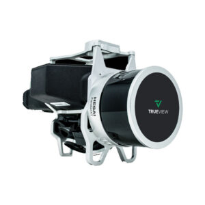
Geocue Trueview 435
Read more -
Geocue Trueview 515
Read more -
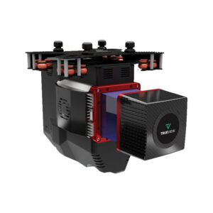
Geocue Trueview 655/660
Read more -
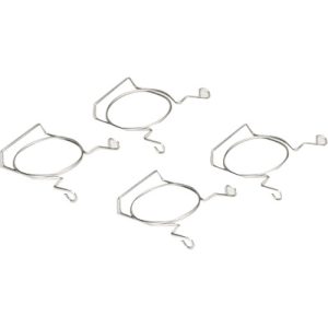
Hoodman Drone Tape Clips
$34.99 Add to cart -
Hoodman Green LED Light Kit for 3-5 Foot Drone Landing Pads
$19.99 Add to cart -
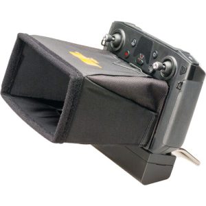
Hoodman Sunshade Hood for DJI Matrice 300 Smart Controller
$49.99 Add to cart -
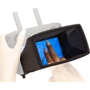
Hoodman Sunshade Hood for DJI Smart Controller
$49.99 Add to cart