precision agriculture
Showing all 8 results
-
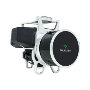
Geocue Trueview 435
Read more -
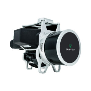
Geocue Trueview 515
Read more -
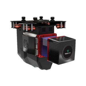
Geocue Trueview 655/660
Read more -
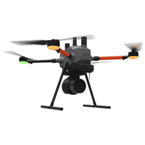
Microdrone EasyOne LidarUHR Series
Read more -
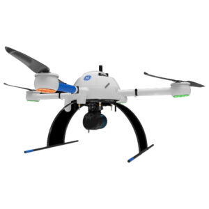
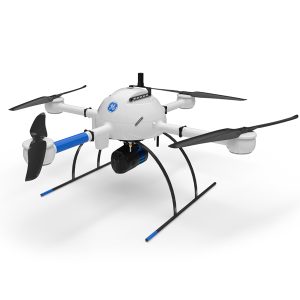
Microdrone mdLiDAR1000 UHR
Read more -
Microdrone mdLiDAR1000HR aaS
Read more -
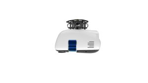
Microdrone Payload mdLiDAR1000HR aaS
Read more -
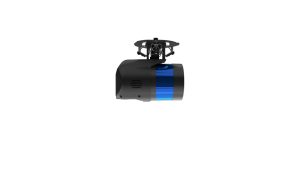
Microdrone Payload mdLiDAR1000LR aaS
Read more