


Showing 13–24 of 30 results
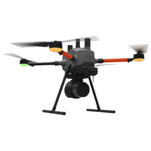
This is Microdrones best LiDAR drone surveying equipment ever. Built upon their 4th-gen drone technology, all MicroDrone EasyOne systems are more compact, more optimized, lighter, safer and more efficient.
![]()
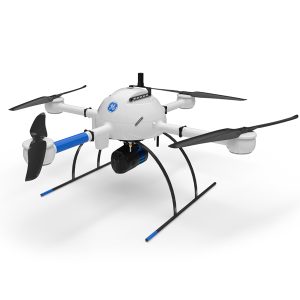
The mdLiDAR1000UHR can help streamline your current workflow to become more efficient, while helping you to complete more projects.
![]()
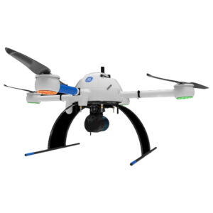
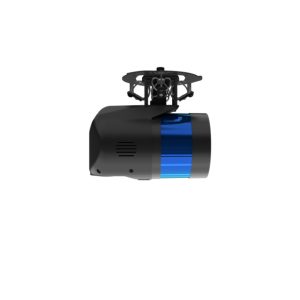
GE Industrial Drone Line – Proven industry leading drone lidar survey equipment and software. mdLiDAR1000HR: HR means high resolution pointclouds and increased coverage is made easier and more accessible than ever.
Microdrones
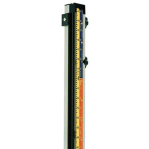
Construction grade leveling (CR) rods offer a rectangular shape with rounded back corners for better gripping. Choose your length: 8′, 13′, 16′ or 20′.
Construction grade leveling (CR) rods offer a rectangular shape with rounded back corners for better gripping. Choose your length: 8′, 13′, 16′ or 20′.
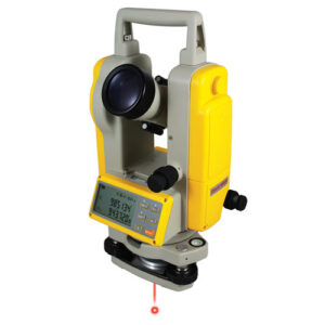
DT8-05LP 5-second digital theodolite with laser plummet for centering of point. Simple, push button functions gives the user precise LCD digital readouts.
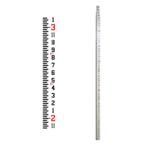
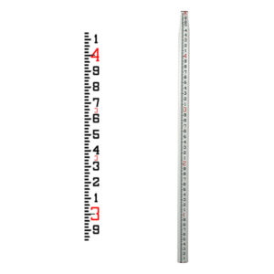
Direct Reading, or True Elevation (also known as Lenker style) is a Grade Rod with a moveable tape face allowing you to set the actual benchmark elevation, or any elevation, above or below the bench into the rod.
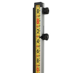
Direct Reading, or True Elevation (also known as Lenker style) is a Grade Rod with a moveable tape face allowing you to set the actual benchmark elevation, or any elevation, above or below the bench into the rod.
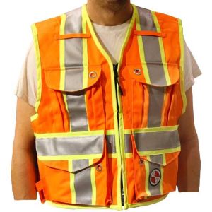
PC15X Party Chief Survey vest with full reflective “X” BACK striping design. ANSI 107/CSA Z-96 compliant for use in the US, Canada and all across North America.
Safety Apparel
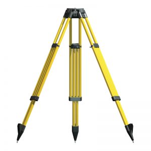
Dutch Hill GT2000A Lightweight Heavy Duty Tripod
Lightweight heavy duty composite land surveyors tripod.
![]()
21601 66th Ave. West, Unit A
Mountlake Terrace, WA 98043
United States
Toll Free: 800-454-1310