Leica MS60 Nova MultiStation The Scanning Robotic Total Station

The Leica MS60 is a high-end MultiStation instrument that combines total station functionality with advanced 3D laser scanning capabilities in a single device. Designed for precise surveying and engineering applications, it allows users to capture both accurate point measurements and dense point clouds, making it highly versatile for tasks like construction layout, deformation monitoring, and detailed topographic surveys. Its automation, imaging, and data integration features help improve efficiency and reduce the need for multiple instruments in the field.

Key features of the Leica MS60:

  • Combines total station measurements with integrated 3D laser scanning
  • High-precision angle and distance measurements for surveying accuracy
  • Fast scanning capability to capture detailed point clouds
  • Advanced imaging system for visual documentation and remote measurements
  • Seamless data integration with Leica software for processing and analysis
More Information

Description

Leica Nova MS60 MultiStation: The Scanning Robotic Total Station

The ultimate all-rounder, a scanning, self-learning total station with GNSS connectivity and digital imaging.

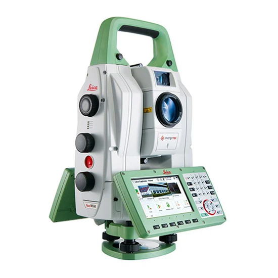
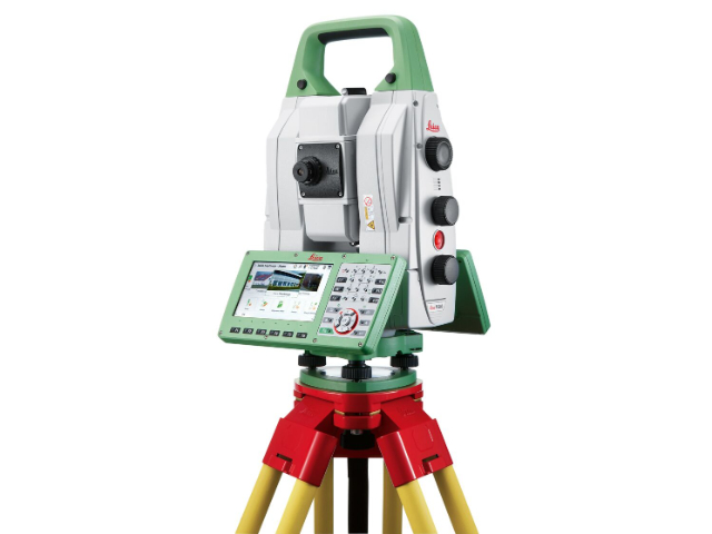
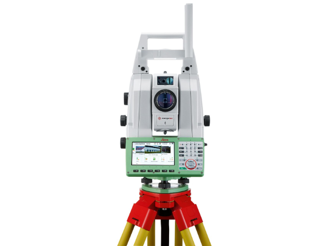
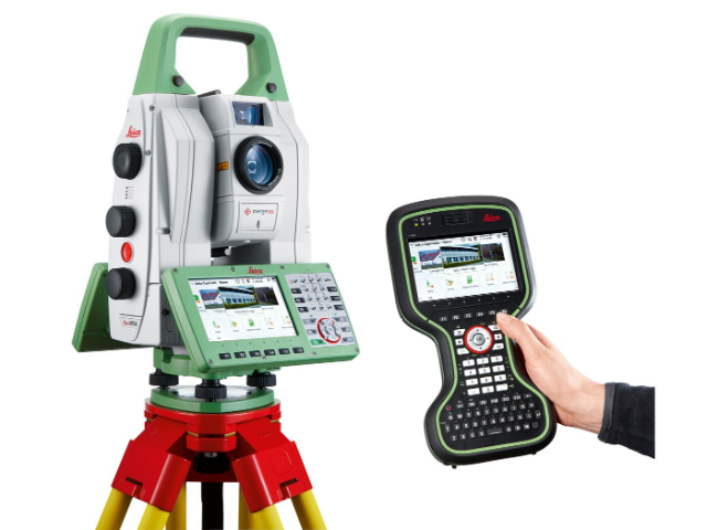
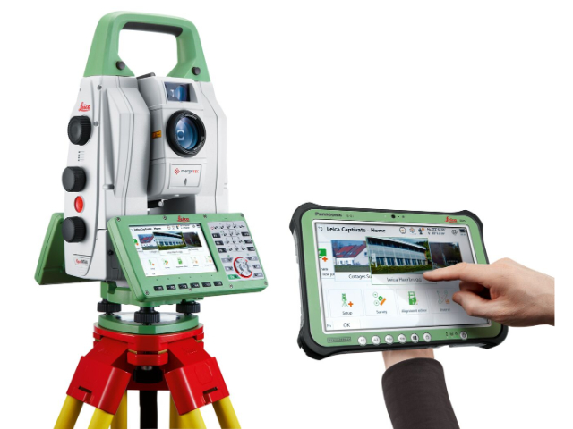
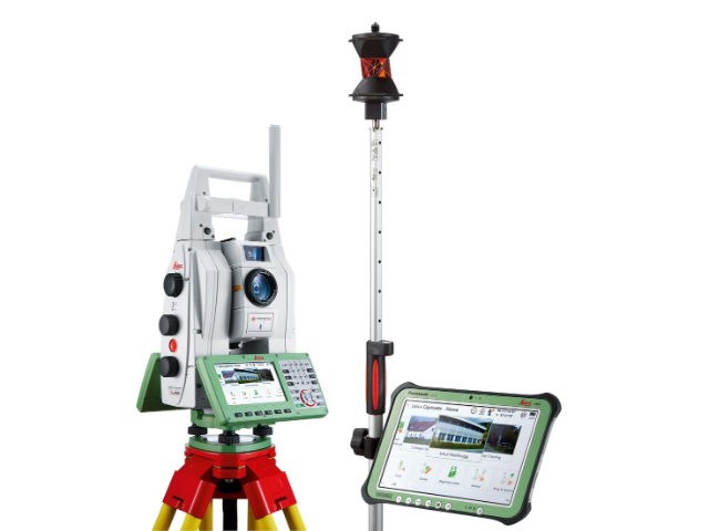
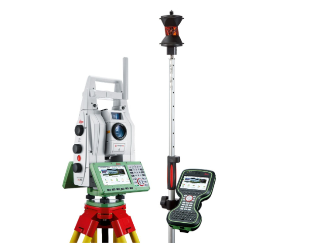
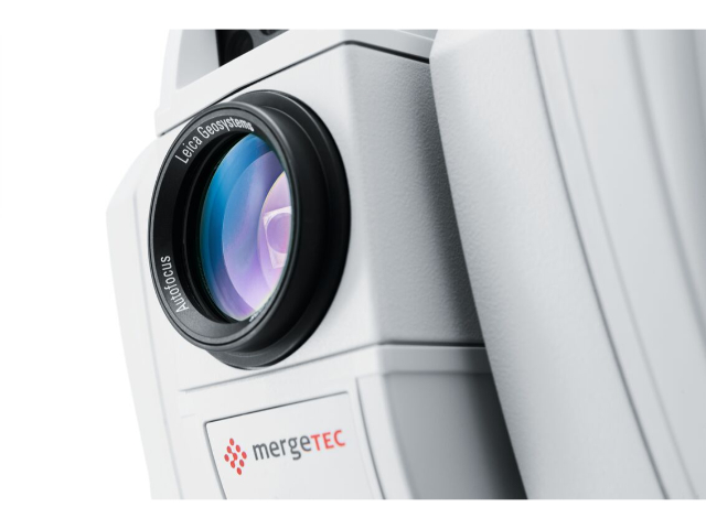
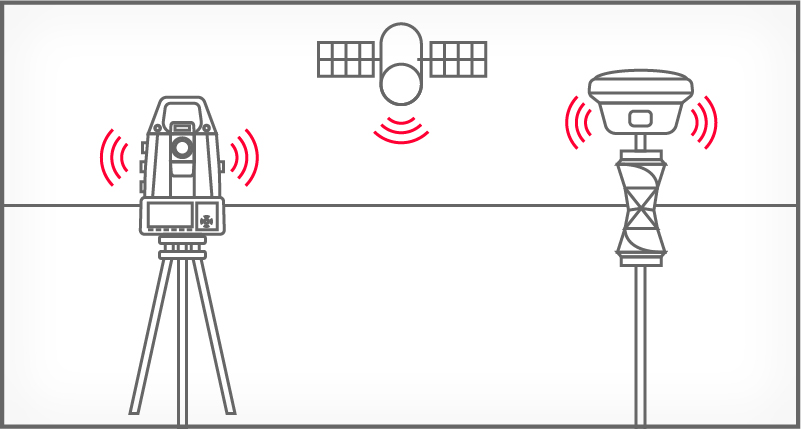
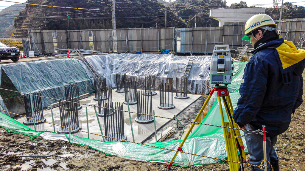
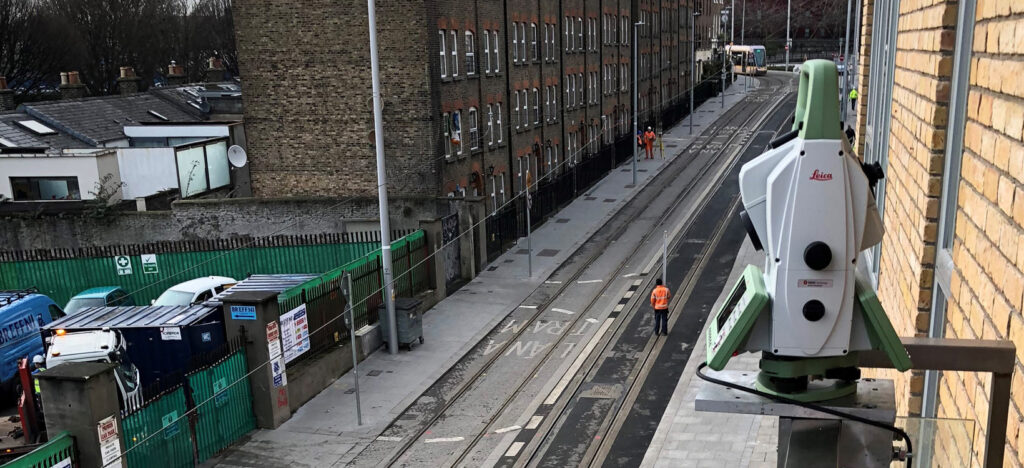
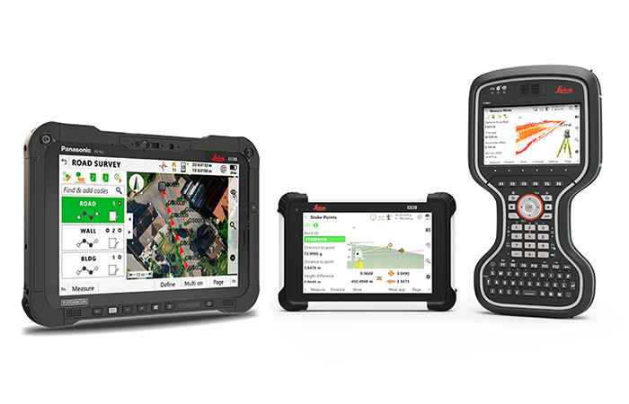
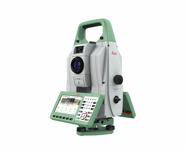
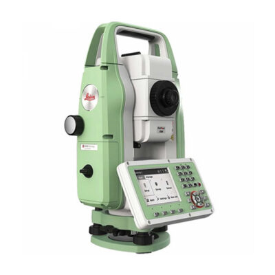
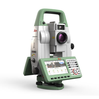
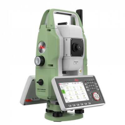
The Leica Nova MS60, the world’s first self-learning MultiStation, enables you to perform all surveying tasks with one instrument.  The MS60 is a scanning total station that empowers complete data collection of individual points and large areas by leveraging sensor fusion and automation. Seamlessly integrated into Leica field and office surveying software, you can quickly complete your work on-site and offer a range of high-value deliverables.

Surveyor measuring a curved path.
Laser scanner with red beams scanning area.

Highest-end total station

Highly accurate angle and distance measurements, robust design and easy-to-use apps. With improved automated functionalities, like Dynamic Lock and Autoheight, and the self-learning ARTplus features, the MS60 increases your efficiency, even in the most challenging conditions.

3D laser scanning

Scan up to 30,000 points per second (Hz) to complete your work quickly and get dense scanning grids. The MS60 features optimised scanning paths, including zenith scans, allowing you to significantly reduce the total scanning time.
Two surveying devices receiving satellite signals.
A person holding a surveying pole and a theodolite.

GNSS connectivity

GNSS is fully integrated in the workflow and the data structure, enabling direct georeferencing and increasing your flexibility in the field.

Digital imaging

Digital imaging technology, including an overview and a 30x magnifying telescope camera, enables accurate image-assisted surveying both at the instrument and remotely, while also including extended image documentation.

When to use the Leica Nova MS60

Traditional surveying and so much more. Learn ways our scanning total station enables measurement tasks and deliverables for a range of sites and structures.

  • Surfaces and volumes in construction and mining, soil heaps and stockpiles, DTM creation and checking surfaces, material thickness, blast faces and ground levels
  • Analysis of complex structures and objects within plant, marine and utility projects: dimensional control, as-built and record keeping
  • Measuring buildings and structures: bridge condition/clearance analysis, BIM and as-built
  • Facade, elevations and heritage work: creation of traditional deliverables like 2D maps or 3D models
  • Deformation monitoring of structures and ground: automated or periodic measurements of buildings, transportation infrastructure, natural hazards, dams and other objects
Surveyor using equipment at construction site.
Leica Total Station surveying tram lines.

Integrated surveying, monitoring and CAD software

  • Leica Captivate – the MS60’s onboard software with easy-to-use apps that cover all your surveying tasks. Includes a range of tools to optimise scanning tasks, like the Inspect Surface app and more.
  • Leica Infinity – an intuitive surveying office software enabling seamless data transfer from the MS60 to the office to manage, process, analyse and quality check your field data.
  • Leica GeoMoS – the automated deformation monitoring software providing movement analysis, reports and notifications
  • Leica Cyclone – point cloud processing, management, collaboration and visualisation software.
  • Leica Cloudworx – CAD plugins that allow you to work efficiently with large point clouds directly in your chosen CAD system
  • Additional Hexagon packages and selected partner software

Related Products:

Leica Nova MS60 MultiStation:  Master Your Projects with the Ultimate All-Rounder

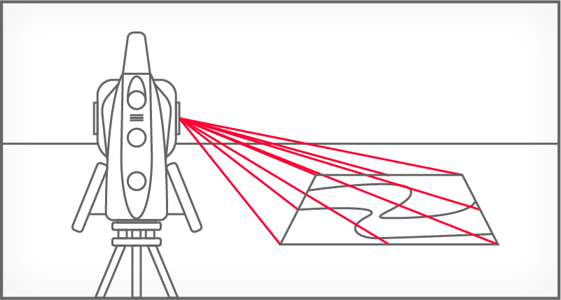
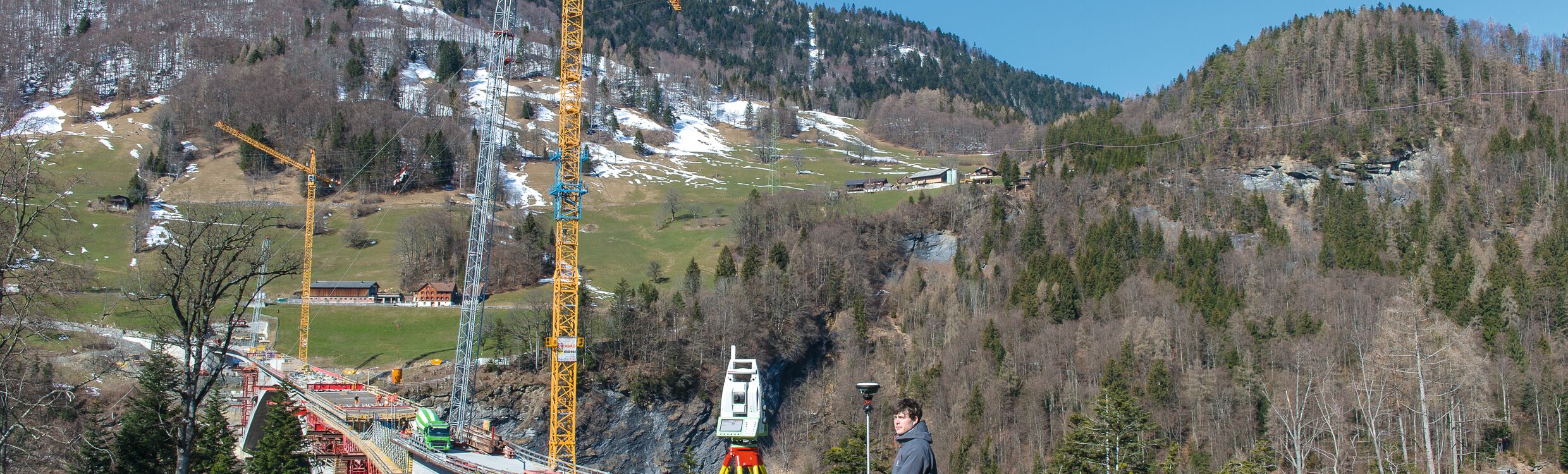
  • Surfaces and volumes in construction and mining: spoil heaps and stock piles, DTM creation and checking surfaces, material thickness, blast faces and ground levels.
  • Analysis of complex structures and objects within plant, marine and utility projects: dimensional control, as-built and record keeping.
  • Measuring buildings and structures: bridge condition/clearance analysis, BIM and as-built.
  • Façade, elevations and heritage work: creation of traditional façade deliverables, 3D models and photographic documentation.
  • Traditional topographic surveys for surveying and mapping: creation of traditional deliverables like 2D maps or 3D models.
  • Enhanced prism monitoring with scanning: 24/7 automatic mm-level measurements of surfaces like roads, buildings, dams and
    tunnels with real-time messages in case of detected movements.

Key Features

Fully Compatible with

  • Scan up to 30,000 points per second
  • Inspect and Analyze Data while in the field
  • Easy setup with New AutoHeight Feature
  • Create point clouds instantly onsite and visualize in the on screen 3D viewer for completeness checks.
  • DynamicLock to reliably lock on moving prisms
  • Perform all your measurement tasks with one instrument

What’s in the box

  • 1x MS60 1″ (0.3mgon) R2000, MultiStation with reflectorless EDM (R2000) and high-speed 30kHz EDM
  • 1x Automatic target recognition
  • 1x PowerSearch, AutoHeight
  • 1x 5MP imaging, overview camera, 30x telescope camera, Autofocus
  • 1x WLAN, Bluetooth, RS232/USB interface
  • 1x RadioHandle interface, USB stick/SD card interface
  • 1x 2GB  eMMC Flash  Memory, 1GB SDRAM
  • 2x keyboards with 5″ WVGA color touch screen
  • 1x Laser plummet
  • 1x Quick Guide and upright container

*Included items may vary based on order.

Downloads

Information /Quote Request

Additional information

Weight 15 lbs

Reviews

There are no reviews yet.

Be the first to review “Leica MS60 Nova MultiStation The Scanning Robotic Total Station”

Your email address will not be published. Required fields are marked *