Description
Leica Captivate Field Software
Immersive 3D field software to capture and manage data.
Leica Captivate is a user-friendly survey field software designed to help you tackle any surveying task. Whether measuring, viewing or sharing data, everything is done in one software with easy-to-use apps and precise 2D views and 3D models. Leica Captivate spans industries and project use cases with little more than a simple tap or swipe, regardless of whether you work with total stations, GNSS or both. As a user-friendly, versatile and customizable survey field software, Leica Captivate is designed to tackle any measurement task. It is the best companion for a variety of measurement instruments including MultiStations, Total Stations, and GNSS receivers. Leica Captivate not only enhances the efficiency of data creation and data understanding, it also embraces collaboration by supporting industry standard formats and data sharing via numerous cloud services.
With Leica Captivate onboard, experience the all-encompassing solution of:
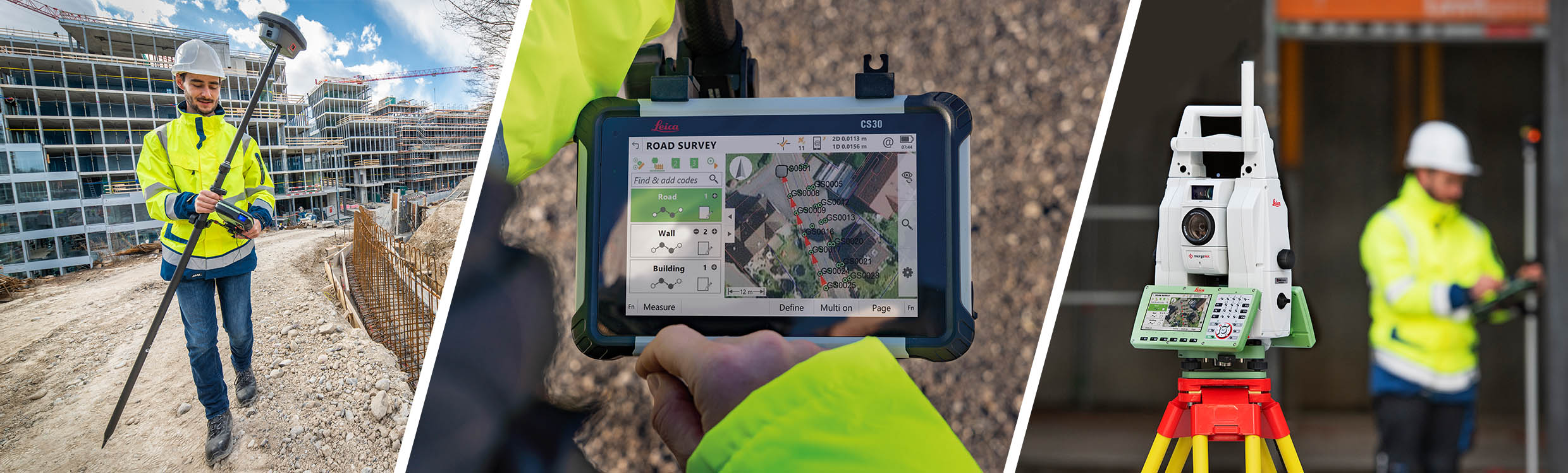
- A new generation of Leica Nova and Viva Total Stations and MultiStation with ATRplus, the world’s first self-learning total stations and MultiStation
- Mobile power in your hands with the new Leica CS20 remote and Leica CS35 tablet installed with Leica Captivate for an enjoyable experience on the go
- Familiar apps and easy-to-use touch technology to create the most accurate and realistic 3D renderings of any jobsite
- Leica Geosystem’s trusted services with a global support network of online and professional team assistance available anywhere, anytime
[su_youtube url=”https://youtu.be/pv1MqxAhtNY” height=”200″ title=”Leica AP20 AutoPole – Unique smart system that boosts on-site productivity”]