Description


Original price was: $5,799.00.$5,459.99Current price is: $5,459.99.
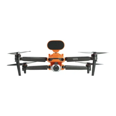
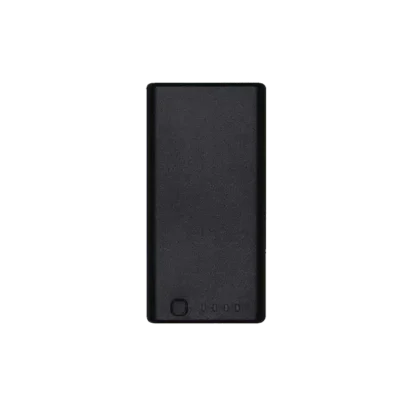
The Autel EVO II Pro 6K RTK Rugged Bundle V3 is a professional-grade drone package designed for precision mapping, surveying, and inspection. Featuring a 1-inch CMOS sensor capable of capturing 6K ultra-high-definition imagery, it pairs cutting-edge camera performance with RTK technology for centimeter-level positioning accuracy. The rugged bundle includes a durable hard case, extra batteries, and essential accessories, making it ready for demanding fieldwork while ensuring reliability, accuracy, and efficiency in every mission.

1 in stock


Benefit from the quality, precision and reliability of Leica Geosystems Original Accessories – perfectly suited for Leica Geosystems measuring equipment.

Leica Geosystems Original Accessories now come with unique security codes that guarantee that what you bought is truly a part of the Leica Geosystems complete solution. No other accessories compare to those developed and produced by Leica Geosystems.
Genuine Leica Geosystems Accessories
![]()
Leica Geosystems Original Accessories now come with unique security codes that guarantee that what you bought is truly a part of the Leica Geosystems complete solution. No other accessories compare to those developed and produced by Leica Geosystems.
Genuine Leica Geosystem Accessories
![]()


Learn the rules and requirements to fly your drone in accordance with the FAA’s Small UAS Rule (Part 107). This certification demonstrates that you understand the regulations, operating requirements, and procedures for safely flying drones.
![]()
Class runs from 8AM – 4PM PDT
Thursday, April 14 & Friday, April 15 2022
Thursday, May 19 & Friday, May 20
Thursday, June 16 & Friday, June 17
Thursday, July 14 & Friday, July 15
Thursday, August 18 & Friday, August 19