

Collect terrestrial data using PIX4Dcatch and RTK and get measurements at centimeter-level absolute accuracy.
Capture drone data with the PIX4Dcapture Pro flight app.
Process
Automatically process your images on the cloud using photogrammetry algorithms to transform them into measurable deliverables.
Generate accurate and georeferenced orthomosaics, 3D meshes, point clouds, and elevation models.
.
Analyze
Visualize, monitor and document site progress using an intuitive interface, a timeline, and built-in measurement tools, accessible online from any device or location, on a collaborative cloud-based platform.
Share
With a simple URL, share the results with your team or clients to ensure seamless information flow and greater collaboration.
Integrate
Import data to the Trimble Connect platform and/or download all outputs and export to other third-party CAD and BIM software for your next steps.
Professional photogrammetry on the cloud
Monitor your projects online
Choose the right solution for your needs
Basic
Create accurate 2D maps and 3D models from images
Measure distances, areas, and volumes
Add annotations
Generate elevation profiles
Perform virtual inspections
Share with team and stakeholders
Advanced
All Standard features, plus
Track and document site progress with visual Timeline
Compare volumes over time
Overlay design plans and maps
Compare two image maps to see what has changed
Improve collaboration with PDF reports
Enterprise
All Advanced features, plus:
API Access
SSO
Custom integration
Custom storage
Pay per use or unlimited
Cloud-based flight planning
A well-planned flight will save you time in the field and ensure quality results. You can plan your flight from the comfort of your office, and download satellite or street view basemaps to work in the field with no internet connection. Take control of your data right from the start – plan your missions, download them, and fly with PIX4Dcapture Pro.
How companies use cloud-based mapping in their daily operations
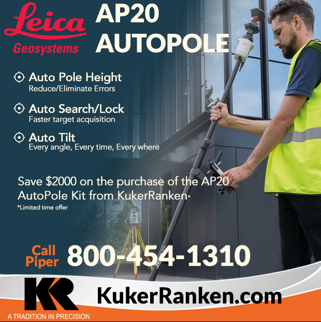
Benefit from the quality, precision and reliability of Leica Geosystems Original Accessories – perfectly suited for Leica Geosystems measuring equipment.

Leica Geosystems Original Accessories now come with unique security codes that guarantee that what you bought is truly a part of the Leica Geosystems complete solution. No other accessories compare to those developed and produced by Leica Geosystems.
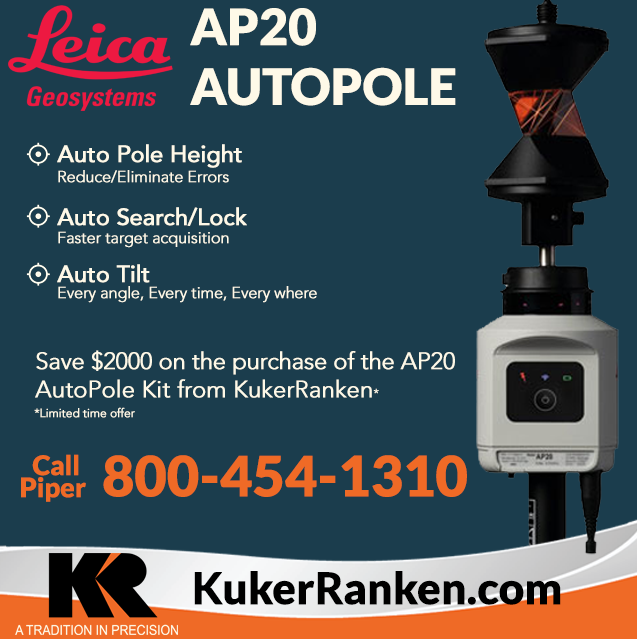
Benefit from the quality, precision and reliability of Leica Geosystems Original Accessories – perfectly suited for Leica Geosystems measuring equipment.
Leica Geosystems Original Accessories now come with unique security codes that guarantee that what you bought is truly a part of the Leica Geosystems complete solution. No other accessories compare to those developed and produced by Leica Geosystems.
Interested in getting your Part 107 Drone Certification?
Learn the rules and requirements to fly your drone in accordance with the FAA’s Small UAS Rule (Part 107). This certification demonstrates that you understand the regulations, operating requirements, and procedures for safely flying drones.

Class runs from 8AM – 4PM PDT
Thursday, April 14 & Friday, April 15 2022
Thursday, May 19 & Friday, May 20
Thursday, June 16 & Friday, June 17
Thursday, July 14 & Friday, July 15
Thursday, August 18 & Friday, August 19
Reviews
There are no reviews yet