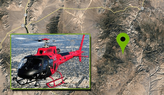
A Deep Insider’s Look at a Rugged Terrain Mission to Investigate a Helicopter Crash with Drones

nce that may have not been seen for various reasons during a site walk-through.
Experts Tested 4 Different Drone Mapping Solutions for Crime Scene Investigation

Experts Tested 4 Different Drone Mapping Solutions for Crime Scene Investigation. Here’s What Happened. At Commercial UAV Expo in Las Vegas, more than 300 drone industry professionals watched as experts tested four different drone mapping solutions for crime scene investigation at night. Guest post by Douglas Spotted Eagle, Chief Strategy Officer at KukerRanken Commercial UAV Expo brought […]
Selecting the Right Drone for Your Construction Business

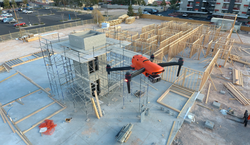
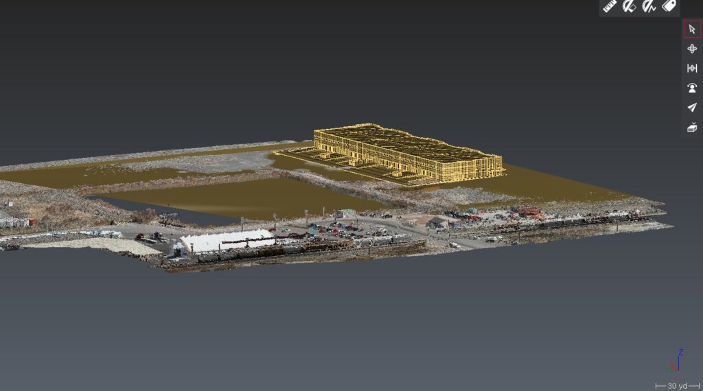
Unmanned Aircraft (UA/Drones) have rapidly become a significant component of the modern construction industry workflow whether it’s for progress reporting, site planning, BIM, inventory control, safety awareness, structure inspection, topo’s, or other purposes. Site supervisors, architects, and stakeholders all benefit from the rapid output of accurate 2D/Ortho, or 3D models that may be used for purposes ranging from simple visualizations, progress reporting, stockpile calculations, DSM, contours, to more complex overlaying blue-prints in the As-Designed/As-Built or BIM process.
Six ways drones have proven themselves as a tool for the AEC, Surveying, and mapping industries.

Drones and unmanned aircraft in AEC scanning and construction Six ways drones have proven themselves as a tool for the AEC, Surveying, and mapping industries Drones and unmanned aircraft in AEC scanning and construction process are becoming more common. Unmanned aircraft, or drones are becoming much more common on today’s project sites. many companies in […]


