

Showing 97–108 of 702 results
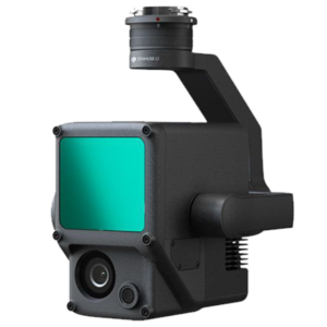
A Lidar + RGB Solution for High-Precision Aerial Surveying
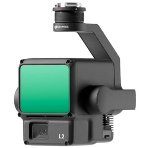
Zenmuse L2 integrates frame LiDAR, a self-developed high-accuracy IMU system, and a 4/3 CMOS RGB mapping camera, providing DJI flight platforms with more precise, efficient, and reliable geospatial data acquisition. When used with DJI Terra, it delivers a turnkey solution for 3D data collection and high-accuracy post-processing.
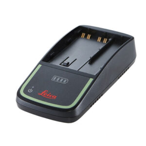
The GKL311 “intelligent” single-bay charger charges one battery within 8 hours. It has an on board LED that indicates the charging progress. It monitors the status and temperature of the battery, charging according to optimum conditions, which results in a longer battery lifetime.![]()
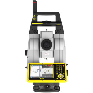
The iCON iCR80 guarantees layout efficiency with the most reliable, simple and automatic set up procedure, industry-leading prism lock, and flexible handling of fully rendered 3D design models in the field.
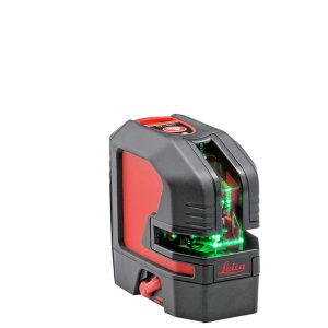
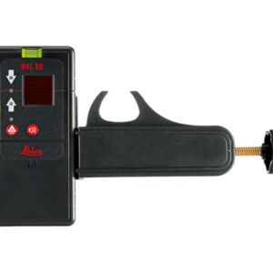
GREEN LASER VISIBILITY
Leica’s latest green laser technology brings laser line visibility and clarity to the highest level. Green reference lines are easily seen in difficult lighting conditions and over long distances.![]()
GA-52Cx Features
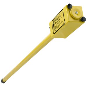
Schonstedt’s underground magnetic locators have been setting the standards for reliability and dependability for over 50 years. They are designed to withstand the rigors of daily on-site usage and a wide range of environmental conditions.
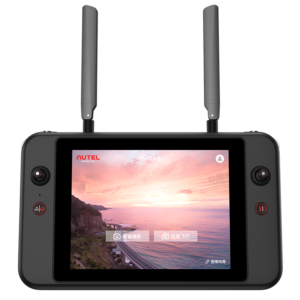
Smart Controller V3’s built-in display at 2000nits is 4 times brighter than a conventional cell phone screen and the 7.9 inch Ultra-HD (2048×1536) touch screen provides clear visibility under direct sunlight. Integrated true tone technology dynamically adjusts the white balance of the display, delivering the best viewing experience for the pilot in any lighting environment.
![]()
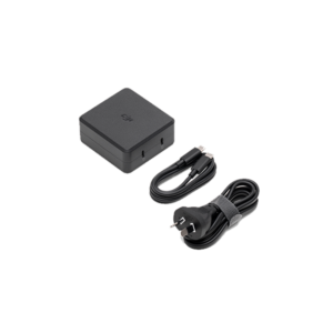
Fast charge the Intelligent Flight Battery and remote controller at the same time, or mobile devices with a USB-C port.
![]()
A Lidar + RGB Solution for Aerial Surveying
The Zenmuse L1 integrates a Livox Lidar module, a high-accuracy IMU, and a camera with a 1-inch CMOS on a 3-axis stabilized gimbal. When used with Matrice 300 RTK and DJI Terra, the L1 forms a complete solution that gives you real-time 3D data throughout the day, efficiently capturing the details of complex structures and delivering highly accurate reconstructed models.
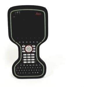
The Leica CS20 controller offers a robust design and high performance, providing the ultimate in control and convenience with complete mobility. 823167-2490456
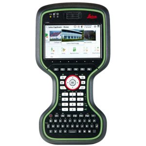
The Leica CS20 controller offers a robust design and high performance, providing the ultimate in control and convenience with complete mobility. Touch screen technology allows you to process data while a stunning 3D view transforms your Leica Viva GNSS and Leica Nova scanning experiences.![]()
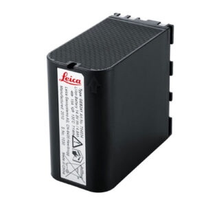
GEB242, Lithium Ion battery, 14.8V/5.8Ah, chargeable.

![]()
21601 66th Ave. West, Unit A
Mountlake Terrace, WA 98043
United States
Toll Free: 800-454-1310