
Showing 181–192 of 702 results
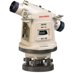
LT8-300LP universal optical level transit features laser plummet.
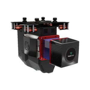
TrueView 435 is the most economical platform for utility-grade mapping. GeoCue’s TrueView 435 is our next generation compact 3D Imaging System that has sensitivity needed for infrastructure mapping. In addition, its superior ground capturing capabilities for lightly vegetated areas make this the most economical platform for utility grade-mapping.![]()
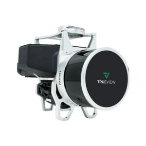
GeoCue’s TrueView 515 is simply the best performing LIDAR/Camera system in the mid price range. This compact 3D Imaging System has impeccable definition along wires, superior ground cover beneath vegetation and sensitivity like we’ve never seen in this class system.
![]()
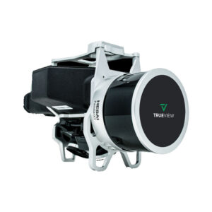
The TrueView® 655/660 is GeoCue’s third generation RIEGL integration built with the miniVUX-3UAV and triple mapping cameras (right, left, nadir) for high accuracy mapping with excellent vegetation penetration and wire detection in a lightweight payload package.
![]()
Leica Geosystems
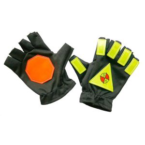
Glow in the Dark Safety Gloves. Made with stretch material in sizes medium and large. Reflective materials of highest standards by 3M.
Safety Apparel
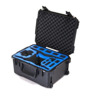
Designed with plenty of batteries for both the ground station and the Phantom 4 plus chargers and much more. This case keeps all the items secure and well organized. Made in the USA.
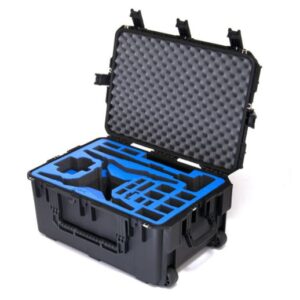
This work horse of a Phantom P4 travels a lot of valuable accessories. This case packs a punch with the Phantom, RTK Ground station, plenty of batteries for both, chargers and much more. Made in the USA.
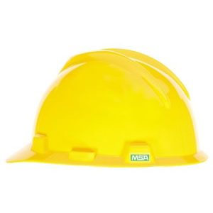
Keep your head and what’s in it safe and sound. Our hard hats are built for comfort, quality, and durability.
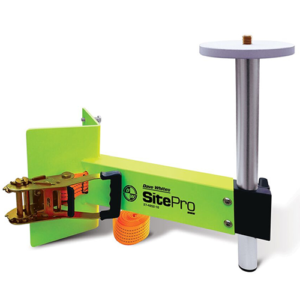
The SitePro Heavy-Duty Column Clamp provides a stable platform that works with all 5/8 x 11 instruments.![]()
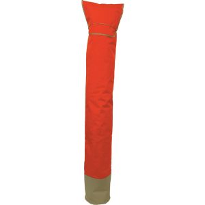
Designed to carry a prism pole with the tripod attached
Seco
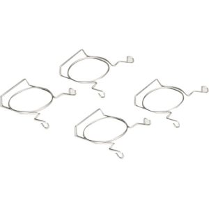
Drone Tape Clips support movable Drone Flight Zone Tape Boundaries. Lightweight, reusable cone inserts hod barricade tape at the top of traffic cones to define boundaries that alert people of areas to stand clear of. Galvanized spring steel wire inserts are rustproof and universally mount in all 3″ or less traffic cone top holes.
![]()
21601 66th Ave. West, Unit A
Mountlake Terrace, WA 98043
United States
Toll Free: 800-454-1310