


Description
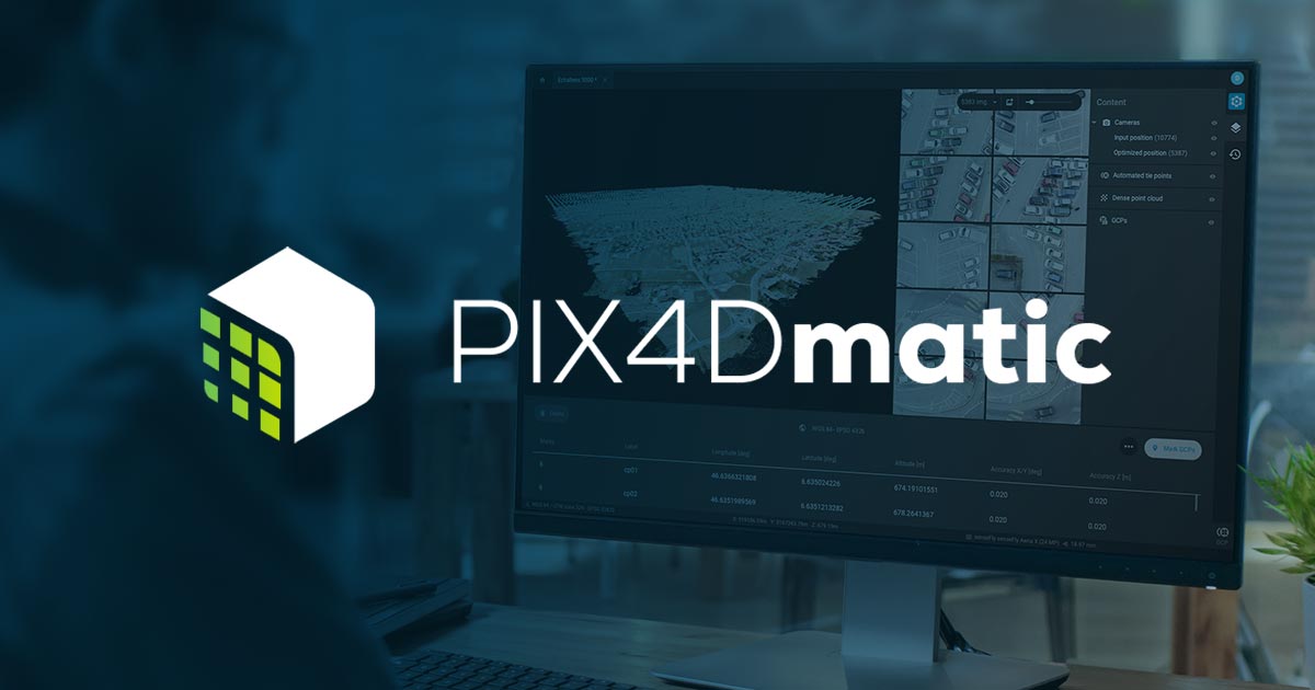
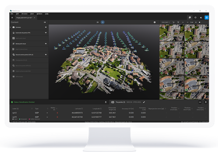
PIX4Dmatic
Next-generation photogrammetry software for terrestrial, corridor and large scale mapping
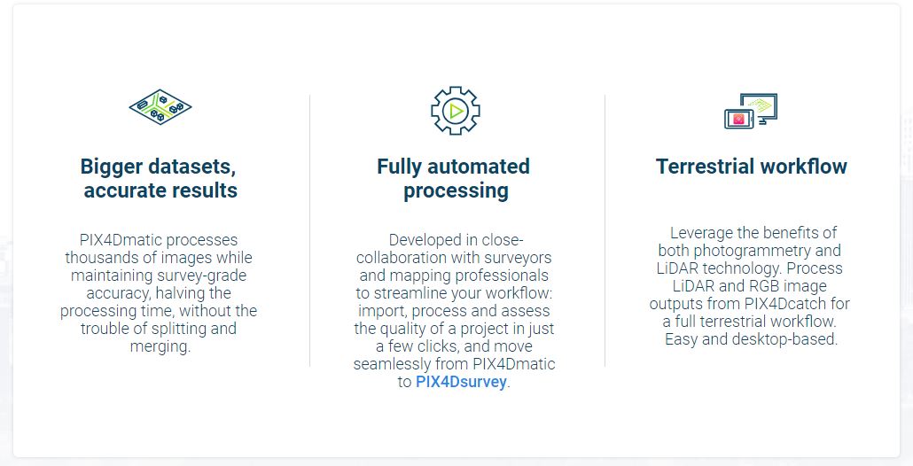
 Accurate, fast drone mapping on a new scale
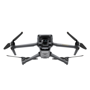
PIX4Dmatic is designed to work with the latest generation of drones for professional applications and transforms your large number of images into accurate point clouds, DSMs and orthomosaics.
Are you ready to go big?
The optimized software for the next surveying and mapping challenges
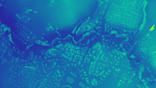
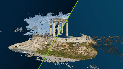
Point Cloud
Generate a dense point cloud, create a depth point cloud or fuse them according to the needs of your project and create the best reconstruction possible.
Export formats: .las
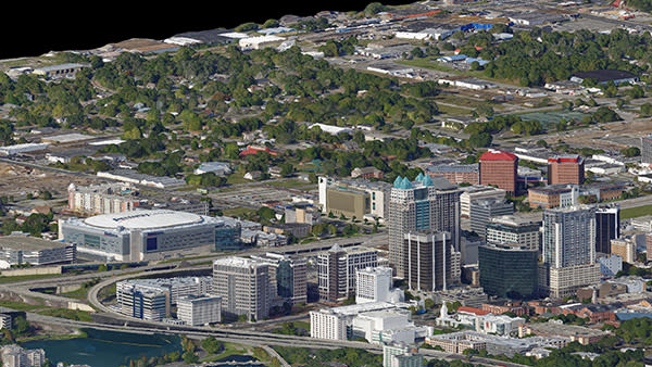
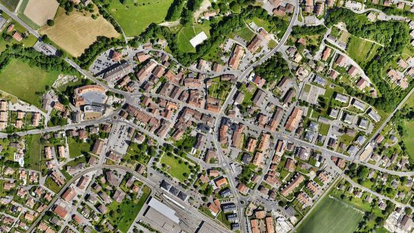
Orthomosaic
Create orthomosaics that are geometrically corrected such that the scale is uniform. They are color balanced in order to be visually pleasing.
Export formats: GeoTIFF (.tiff)
Digital surface model (DSM)
Generate a digital representation of all objects in the mapped area. It includes natural features as well as elevated objects, like buildings.
Export formats: GeoTIFF (.tiff)
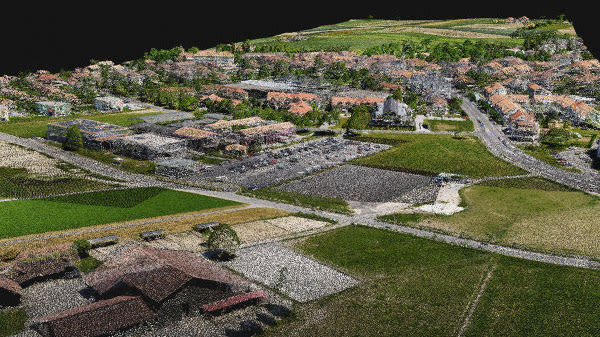
Mesh
Create and extract a 3D textured mesh by defining the texture size and decimation criteria.
Export format: .obj
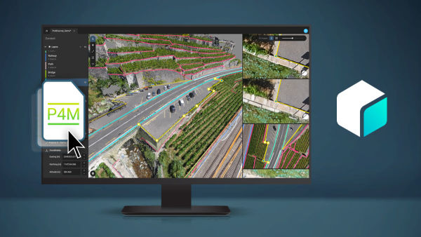
Compatible with PIX4Dsurvey
Seamless export of processed projects into PIX4Dsurvey to transform point clouds into actionable CAD-ready data. Pix4D’s proprietary .bpc file format is optimized for loading and manipulation of big point clouds. You can now bundle PIX4Dmatic with PIX4Dsurvey and get more than 50% off!
Export format: .p4m
PIX4Dmatic is changing the face of surveying and mapping
How to tidy point clouds with our sky filter
Check out how PIX4Dmatic uses machine learning algorithms to automatically identify and remove the sky in point clouds, and making outputs easier to analyze.
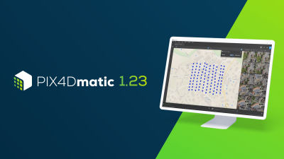
Meet PIX4Dmatic 1.23: new accuracy and measurement options
The latest PIX4Dmatic release brings distance measurements, seamless basemap integration – and more new features. Discover them now!
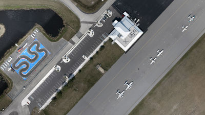
Drones and airplanes: surveying an active airport
Mapping an active airfield can be incredibly dangerous. Discover how Quantum-Systems mapped the Valkaria Airport without startling pilots.

Reviews
There are no reviews yet