


Description
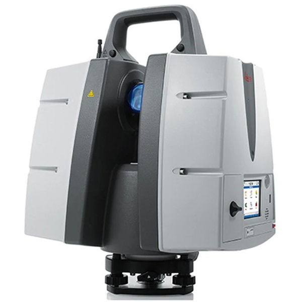
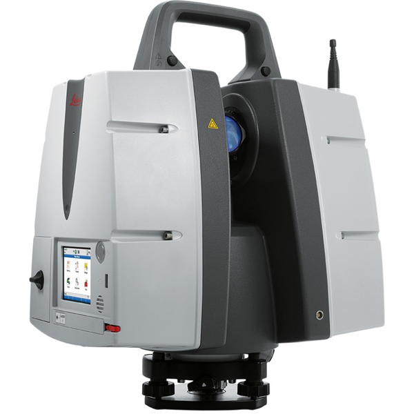
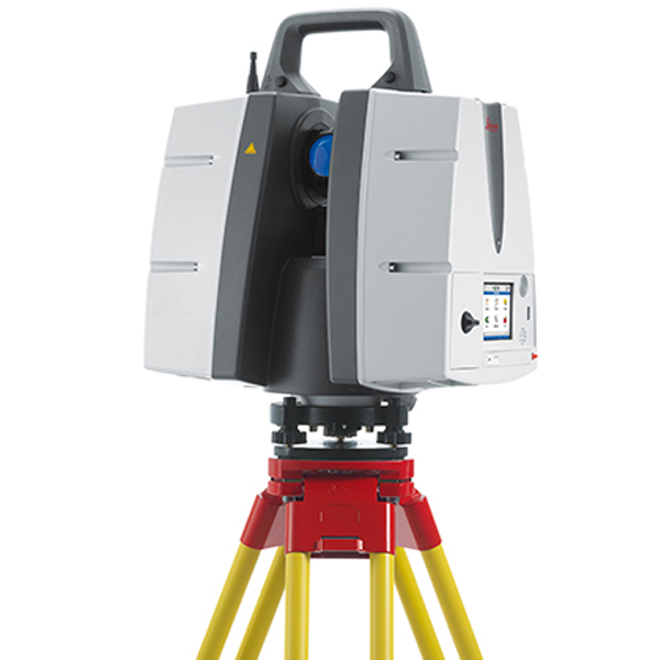
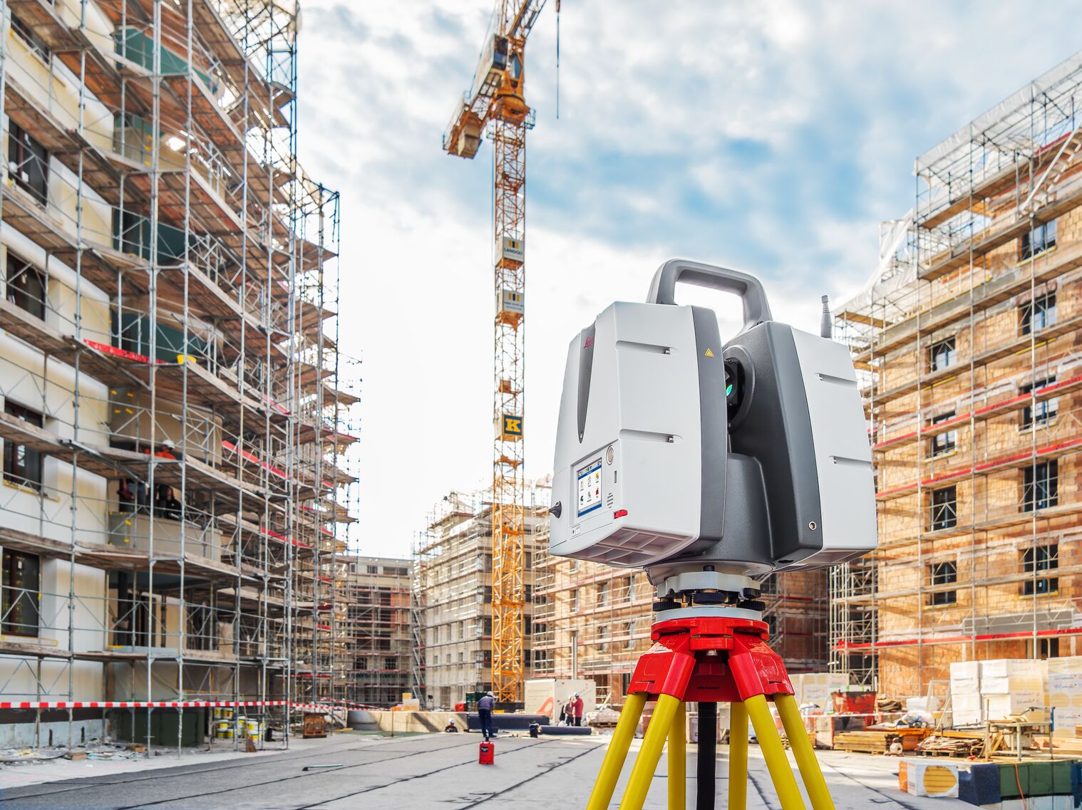
Leica ScanStation P50 – Long Range 3D Terrestrial Laser Scanner
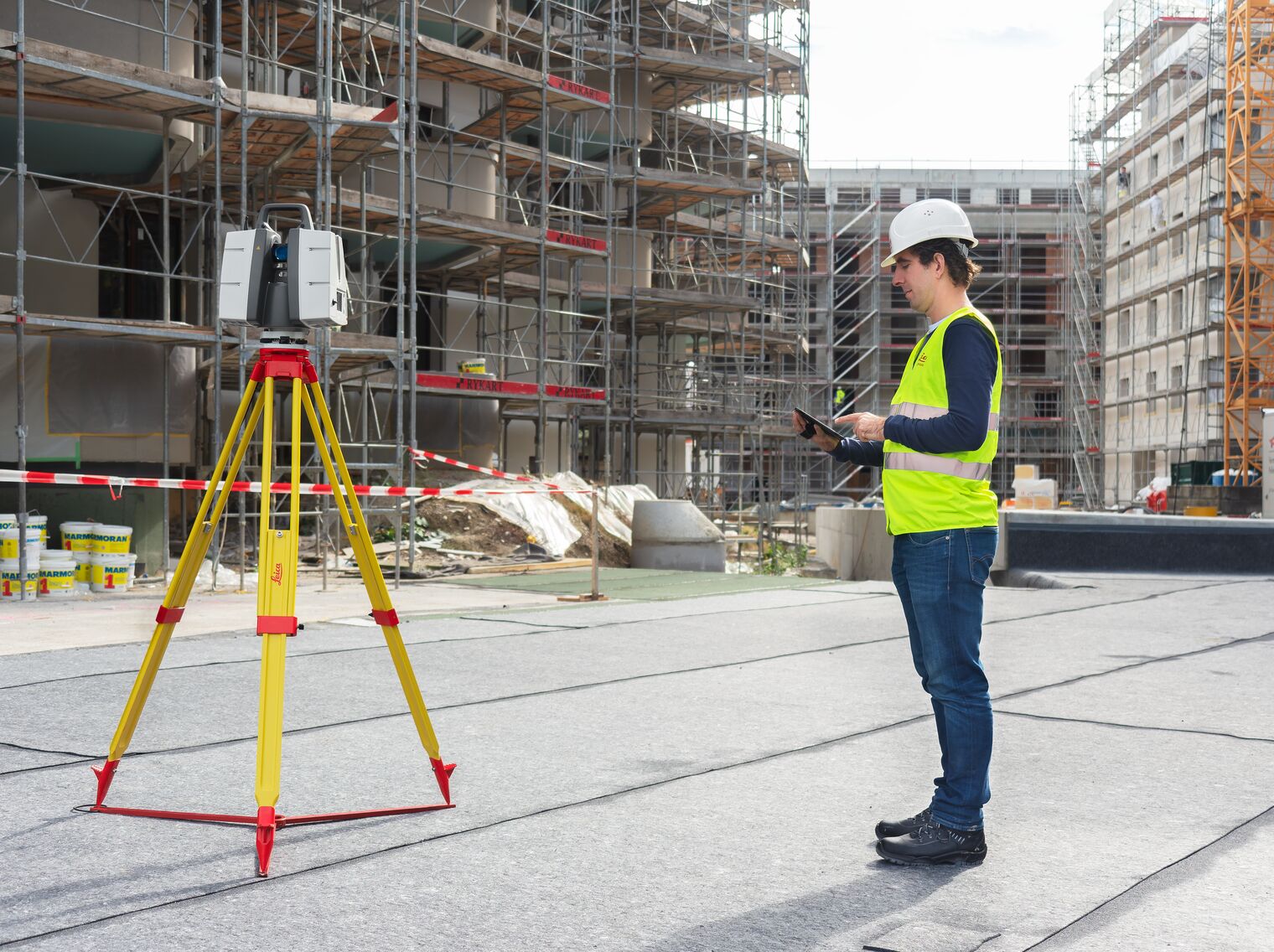
Maximise productivity by scanning inaccessible places at a safe position on site, reducing time in the field with less setups.
For industry professionals looking to scan inaccessible places and find new business opportunities, Leica ScanStation P50 is the fastest and safest, long range 3D laser scanner. Unlike any other laser scanner, the P50 solution maximises productivity by scanning inaccessible places at a safe position on site, reducing time in the field with less setups.
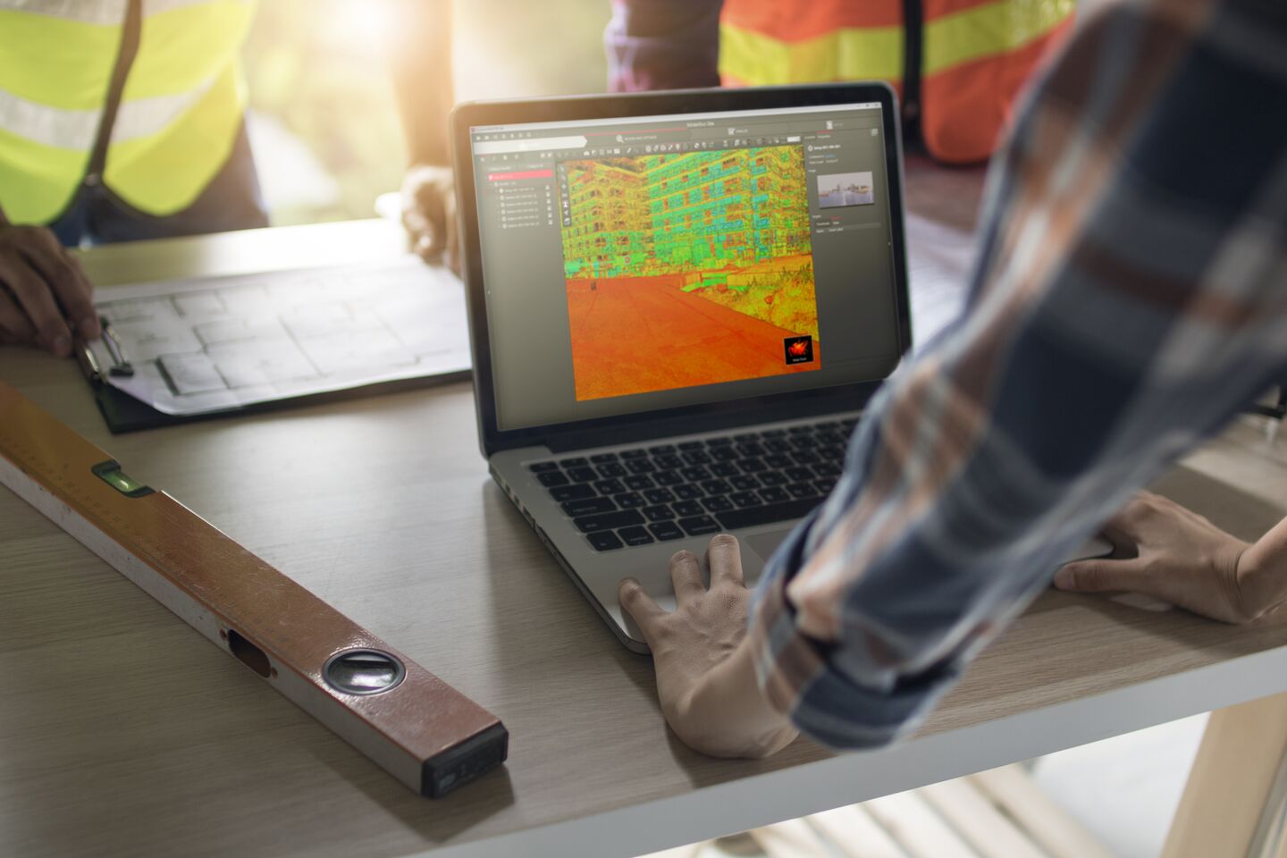
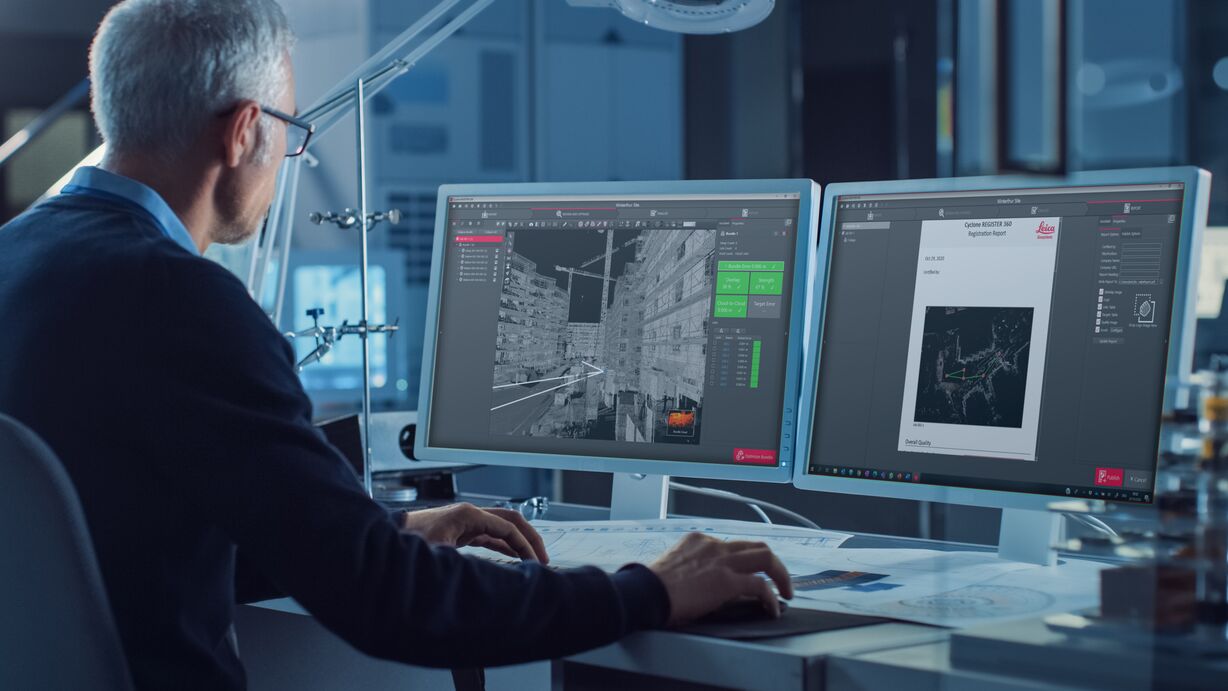
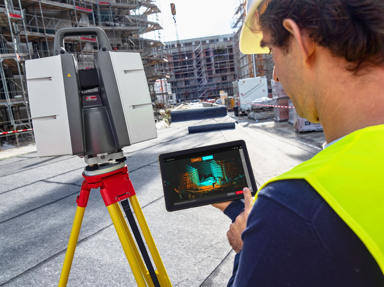
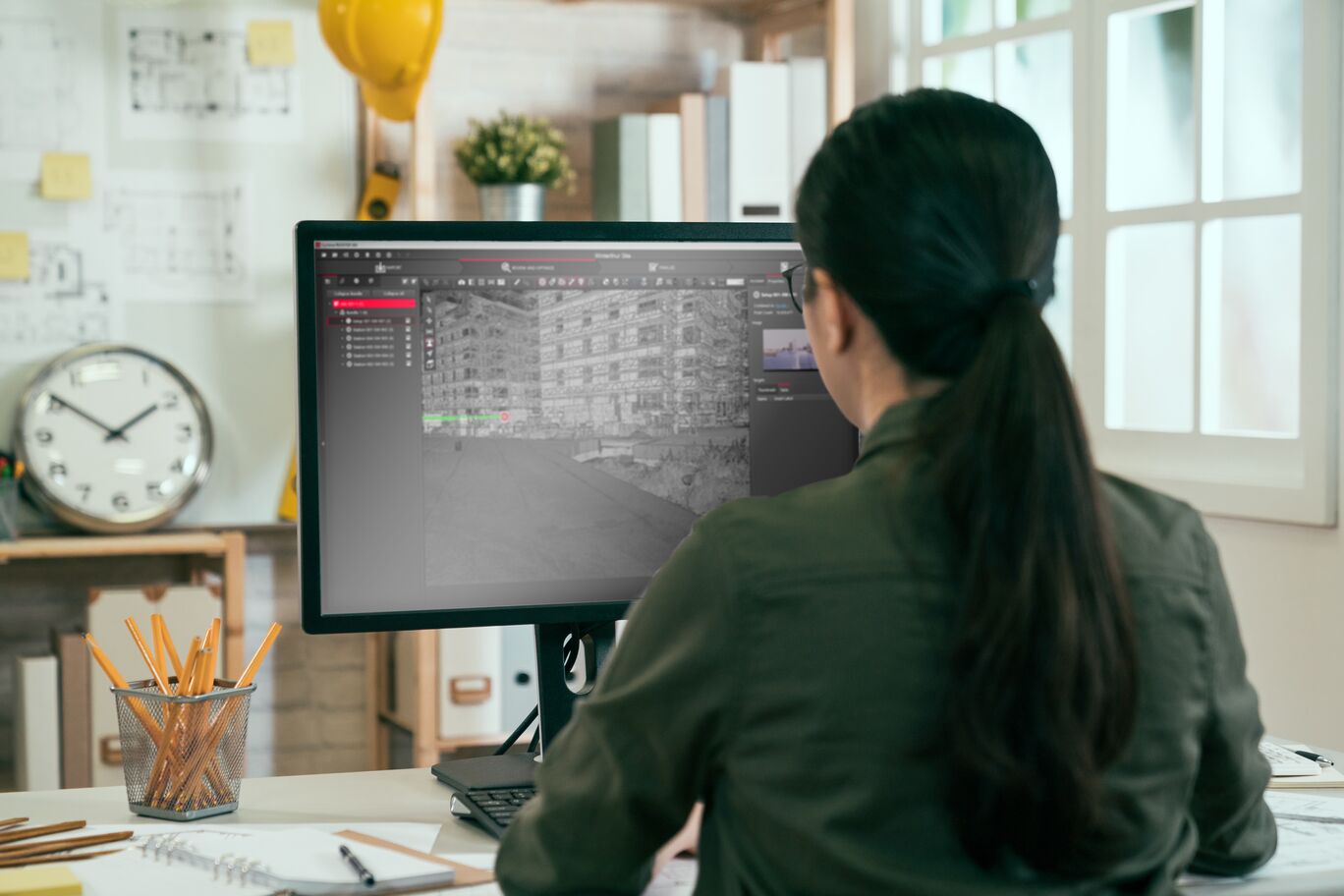
As part of the Leica Geosystems 3D Reality Capture solution, the Cyclone FIELD 360 app links the 3D data acquisition in the field with the ScanStation P50 laser scanner and final data registration in the office with Cyclone REGISTER 360. One-site, users can now automatically capture, register and examine scan and image data.
The right choice
Whether you need a detailed as-built representation of a façade, a 2D floor plan, 3D data for integration into Building Information Modelling (BIM), capturing 3D geometry of roads, rails, tunnels and bridges or high-definition scan data for topographic maps and as-built surveys, you know you’ll need an accurate long range scanning tool for your projects – the ScanStation P30/P40 laser scanners from Leica Geosystems are the right choice, because every detail matters.
High performance
The extremely durable new Leica ScanStation P50 performs even under the toughest environmental conditions, such as under extreme temperatures ranging from -20°C to + 50°C and complies with the IP54 rating for dust and water resistance.
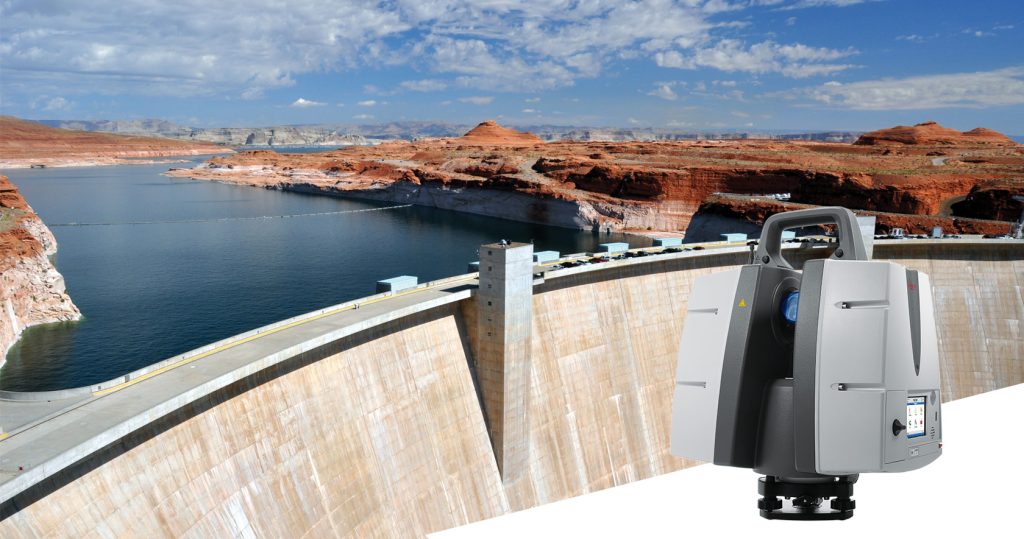
Scan inaccessible places
The Leica ScanStation P50 delivers highest quality 3D data and HDR imaging at an extremely fast scan rate of 1 mio points per second at ranges of > 1 km. Unsurpassed range and angular accuracy paired with low range noise and survey-grade dual-axis compensation form the foundation for highly detailed 3D colour point clouds mapped in realistic clarity.
Complete scanning solution
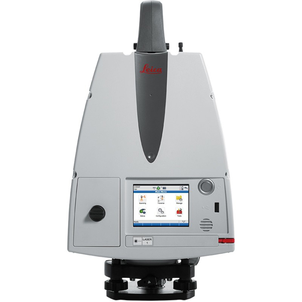
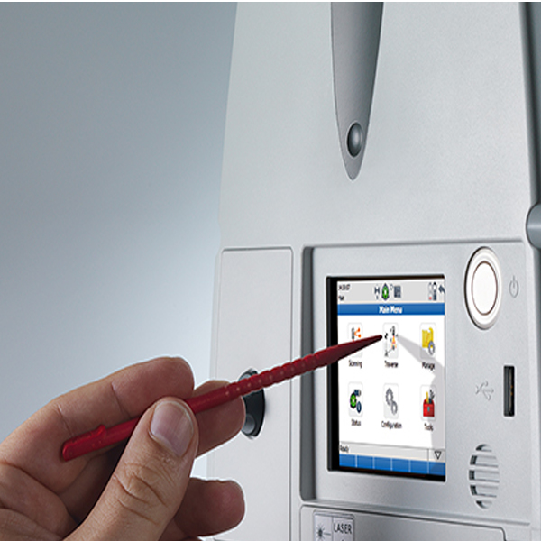
Leica Geosystems offers the new Leica ScanStation P50 as an integrated part of a complete scanning solution including hardware, software, service, training and support. 3D laser scanner data can be processed in the industry’s leading 3D point cloud software suite, which consists of Leica Cyclone stand-alone software, Leica JetStream, Leica CloudWorx plug-in tools for CAD systems and the cost-free Leica TruView.
Leica ScanStation P50 delivers:
- Highest quality 3D data and HDR imaging
- Extremely high-speed scan rate of 1 mio points per second
- Ranges of up to 1 kilometre
- Low range noise
- Survey-grade dual-axis compensation
In the Box:
- 1 x 867984 ScanStation P50
- 1 x 843956 Calibration Cert. “Silver”, TLS P-Series
- 4 x 793975 GEB242 Battery int. Li-Ion 14.8V/5.8Ah
- 1 x 766567 GEV228, data cable for Laser Scanner
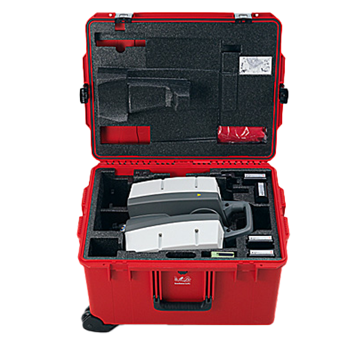
- 1 x 769625 ScanStation C10/P20 transport container
- 1 x 777970 GDF323 Tribrach PRO w/o opt. Plummet blk
- 1 x 772829 GHM008, Scanner height meter
- 1 x 722045 GHT196 Distance holder for height meter
- 1 x 829115 P50/40/30 System USB Stick
- 1 x 827778 Leica ScanStation P50/P40/30 QG,en
- 1 x 938024 Leica Cycl FIELD 360 – Pxx Info sheet
- 1 x 955235 Cyclone FIELD 360 Quick Plan Shipment FL
- 1 x 1432 PowerSupply Configuration
- 1 x 6009442 1 yr ScanStation P50/P40/P30 CCP Basic
- 1 x 799185 GKL311 single Charger Prof 3000
- 1 x 733272 GEV192-1 AC/DC-Adapter for GKL112/311 US
*Items may vary based on model
Reviews
There are no reviews yet