Description
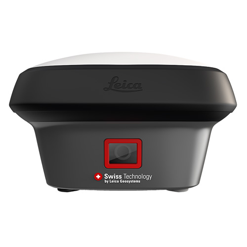
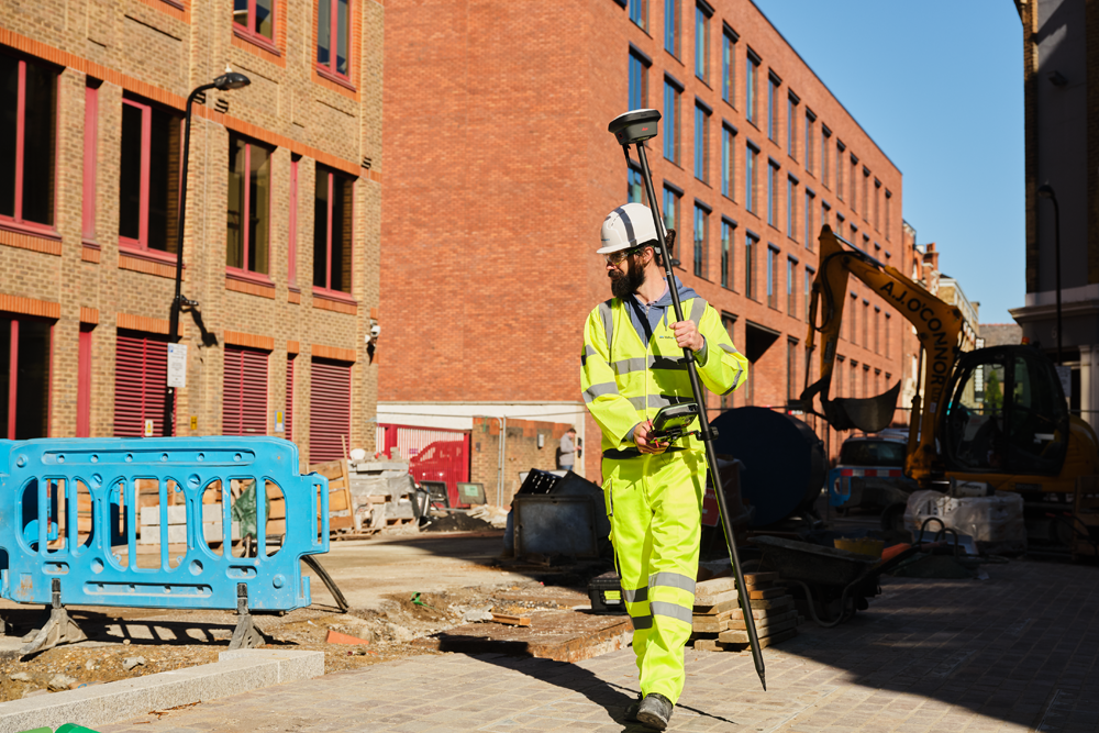
Leica GS18/T/I GNSS RTK Rover SmartAntenna Series
The GNSS smart antenna that grows with your business

The Leica GS18 is a self-learning GNSS smart antenna. It’s an excellent companion to a surveyor that primarily works with a network RTK such as HxGN SmartNet. Like most of the Leica Geosystems GNSS smart antennas, the GS18 works as a rover and a base.

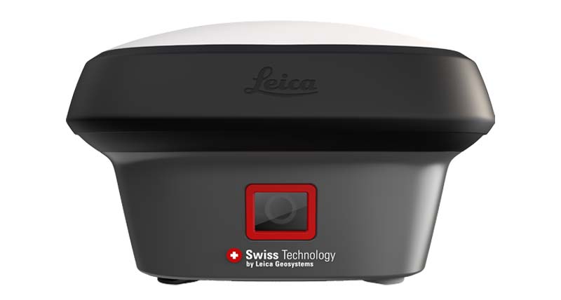
Leica GS18 I
A PICTURE IS FASTER THAN A POLE CAN MEASURE
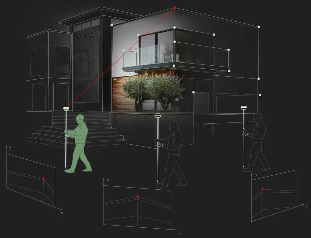
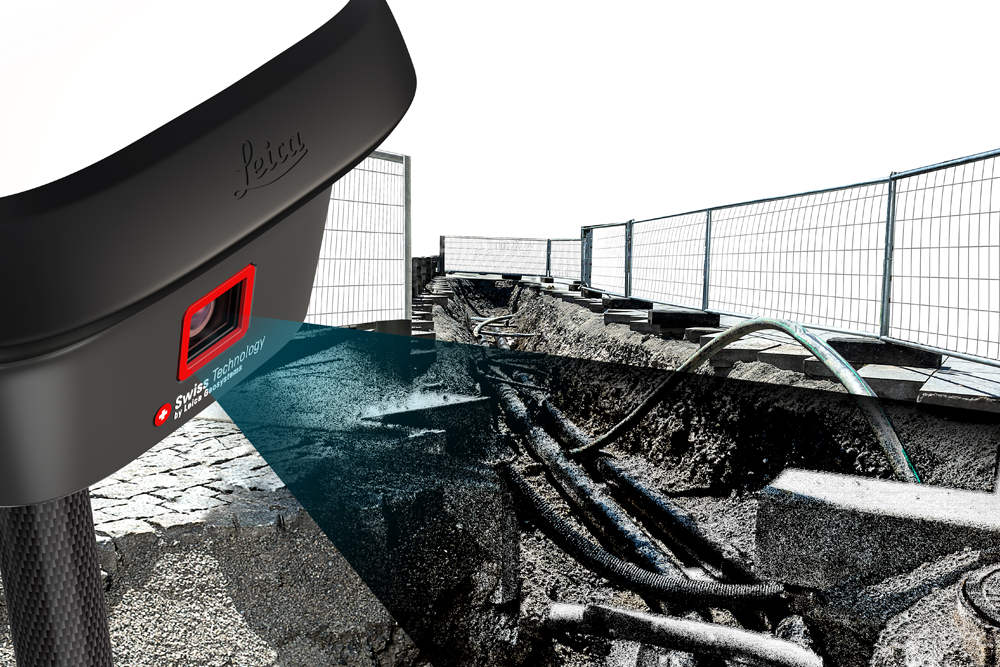
The GS18 I captures images at a frequency of 2 Hz while the operator walks. Those images are processed in real-time and can be used for measuring points immediately after capture stops. Points can then be measured with a simple click. It’s that easy. And in case you are back in the office and discover you need more measurements, all you have to do is use your imagery, no need to return to the field.
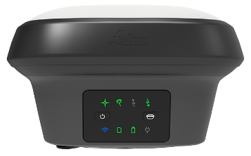
Leica GS18 T
CALIBRATION FREE
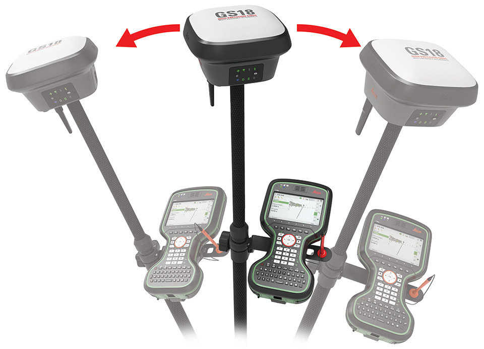
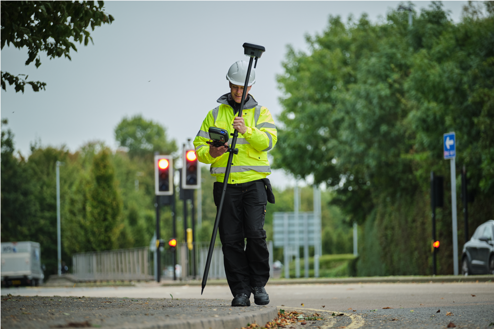
Fast and easy-to-use GNSS RTK rover that has been exceeding expectations since 2017. The original truly tilt compensating GNSS solution that is immune to magnetic disturbances and is calibration-free.
555
With 555 channels at its disposal, the GS18 T measurement engine supports all known signals and identifies their optimal combination.
SELF-SELF-LEARNING
The new RTK Plus technology allows for adaptive on-the-fly satellite selection, learning which signals are valid, invalid, or bounced from nearby buildings. This helps overcome challenging situations typical antenna may not succeed in.

Leica GS18
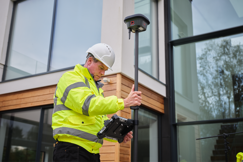
The GS18 smart antenna that grows with your business: upgrade it to tilt-compensated rover at any time.
TILT COMPENSATION UPGRADE
Whenever you need the efficiency and safety improvements gained from tilted measurements, upgrade your GS18 to a tilt compensating rover. Any Leica Geosystems service can do the upgrade at any time.[/su_column]
ENGAGING SOFTWARE
The Leica Captivate field software is the perfect companion for the GS18. With easy-to-use apps, all measured and design data can be viewed and used, providing you with a clear understanding of your data in 2D and 3D view. Captivate spans industries and applications with little more than a simple tap, regardless of whether you work with GNSS, total stations or both.
IMPROVED PERFORMANCE
Multipath reduction and interference mitigation options in Captivate boost GNSS signal tracking quality under harsh environments, which improves RTK availability and accuracy. Also, an interference toolkit will enable filtering to remove in- and out-of-band distortions for even more robust GNSS signal tracking.
4G LTE EXCELLENT MEASUREMENT QUALITY
Tracking multi-frequency signals comes as a standard to all Leica Geosystems GS sensors. Combined with an excellent GNSS antenna element and a position update rate of 20 Hz, the GS18 ensures reliable measurement quality.
Leica GS18 I with Visual Positioning Technology – Mapping
Leica GS18T with Tilt Compensation
INTERNAL MEMORY
Users with any GS18 model have the flexibility to log raw data into an SD card or the internal memory.
ACTIVE CUSTOMER CARE
Through Active Customer Care (ACC), a global network of experienced professionals is only a click away to guide you through any challenge. Control your costs with a Customer Care Package (CCP) which gives you peace of mind you are covered anywhere, anytime.
Imaging Sensor
Intelligence
Advanced Wide Spectrum Processing Engine & Sensor
Artificial
Intelligence
Inertial
Measurement Unit
ENVIRONMENTAL RATING
IP68
Durability
SMARTCHECK
99.99%
Reliability
CONNECTIVITY
555
Channels
VISUAL POSITIONING
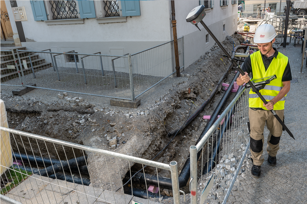
The GS18 I matches the same intelligent tilt technology of the GS18 T and the advanced signal tracking capabilities of the smartest GNSS antennas—but the GS18 I takes another step forward in technological innovation. With the new addition of an imaging sensor, the GS18 I lets you perform photogrammetric measurements on the fly. Its cutting-edge implementation of sensor fusion empowers you to take your efficiency to a whole new level and at the same time overcome traditional GNSS obstacles such as measuring under a building canopy, dealing with multipathing and even performing vertical measurements of facades, all without resorting to costly alternative measurement options or putting yourself in harm’s way.
In the Box:
Leica 939677 – GS18 LTE&UHF Performance NAFTA
GS18 LTE&UHF Performance GNSS SmartAntenna for NAFTA. Geodetic 555 channels GNSS receiver with integrated LTE and UHF RTK modems. Includes GPS Multi-frequency, 20 Hz position rate, Raw data logging, RTK unlimited, RTK Network, Reference station setup. Easily upgradeable with GS18 options (e.g. Glonass, Galileo, GS18 to GS18 T).
- 1 x 939677 GS18 LTE&UHF Performance NAFTA
- 1 x 851576 Leica GS18 QG,multil.1
Leica 855304 – GS18 T LTE&UHF Performance NAFTA
GS18 T LTE&UHF Performance GNSS SmartAntenna for NAFTA. Geodetic 555 channels GNSS receiver with integrated LTE and UHF RTK modems and IMU module. Includes multi-frequency, 20 Hz position rate, Raw data logging, RTK unlimited, RTK Network, Reference station setup. Easily upgradeable with
GS18 options (e.g. Glonass, Galileo)
- 1 x 855304 GS18 T LTE&UHF Performance NAFTA
- 1 x 851576 Leica GS18 QG,multil.1
Leica 864384 – GS18 I LTE&UHF Performance NAFTA
*GS18 I LTE&UHF Performance GNSS SmartAntenna for NAFTA. Geodetic 555 channels GNSS receiver with integrated LTE and UHF RTK modems, IMU module and camera. Includes multi-frequency, 20 Hz position rate, Raw data logging, RTK unlimited, RTK Network, Reference station setup. Easily upgradeable with GS18 options (e.g. Glonass, Galileo).Contents may vary based on model and configuration.
- 1 x 864384 GS18 I LTE&UHF Performance NAFTA
- 1 x 851576 Leica GS18 QG,multil.1
- 1 x 771349 Microfibre cleaning cloth







Reviews
There are no reviews yet