


Description
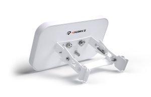
Geocue Trueview 435
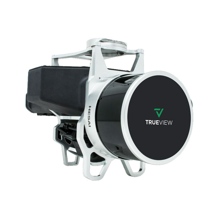
TrueView 435 3D Imaging System
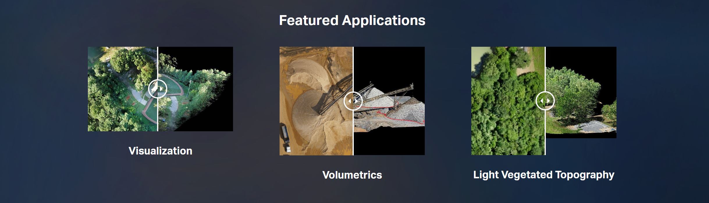
TrueView 435 is the most economical platform for utility-grade mapping. GeoCue’s TrueView 435 is our next generation compact 3D Imaging System that has sensitivity needed for infrastructure mapping. In addition, its superior ground capturing capabilities for lightly vegetated areas make this the most economical platform for utility grade-mapping.
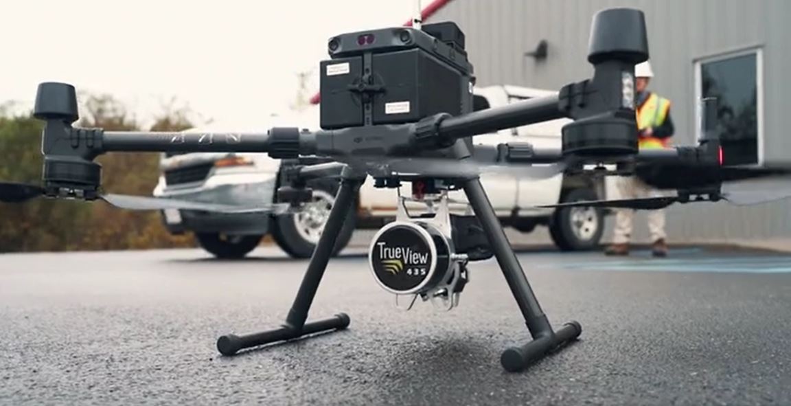
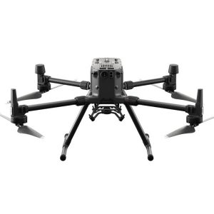
*Drone not included
| Specification | Value |
|---|---|
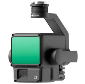
| Data Collection | LIDAR + Imagery |
| Laser Scanner | Hesai Pandar XT |
| LIDAR Beams/Returns | 16/2 |
| LIDAR Range | 80 m @ 20% reflectivity |
| Pulse Repetition Rate | 320 kHz |
| Cross-Track Field of View | 120° |
| Position and Orientation System (POS) | Applanix APX-15 |
| Accuracy | Better than 5 cm, RMSE |
| Precision | Better than 5 cm at 1 σ |
| Camera Sensor | 1’’ mechanical shutter, hardware mid-exposure pulse, 20 MP, RGB |
TrueView 435 3D Imaging Sensor
In the box:
HARDWARE
- TrueView 435 3D Imaging Sensor
ACCESSORIES/PARTS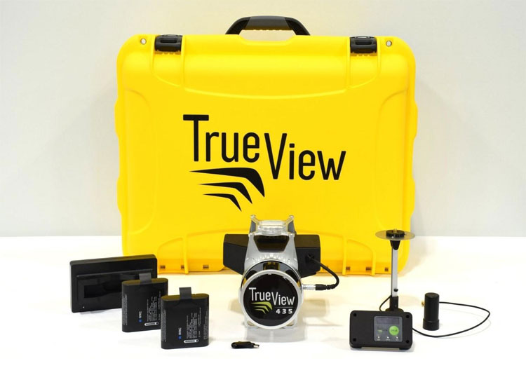
- TrueView Battery + Battery Charger
- External Power Adaptor
- USB
- Control Box
- GNSS Antenna
- Sensor Hardcase
SOFTWARE
- LP360 Drone Processing Software
- Includes Strip Align and Desktop Photo Add Ons
DATA MANAGEMENT
- Access to LP360 Cloud
SUPPORT
- 1 year of hardware and software support
- 2 days of free training at our Huntsville Headquarters
Reviews
There are no reviews yet