


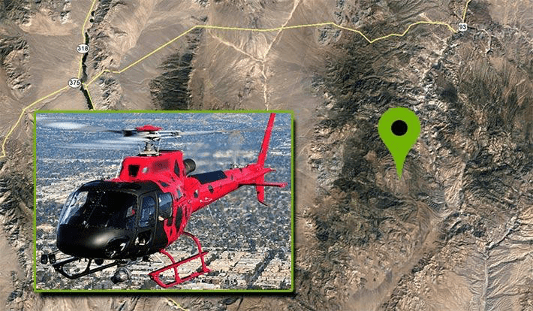
A Deep Insider’s Look at a Rugged Terrain Mission to Investigate a Helicopter Crash with Drones
nce that may have not been seen for various reasons during a site walk-through.
Experts Tested 4 Different Drone Mapping Solutions for Crime Scene Investigation

Experts Tested 4 Different Drone Mapping Solutions for Crime Scene Investigation. Here’s What Happened. At Commercial UAV Expo in Las Vegas, more than 300 drone industry professionals watched as experts tested four different drone mapping solutions for crime scene investigation at night. Guest post by Douglas Spotted Eagle, Chief Strategy Officer at KukerRanken Commercial UAV Expo brought […]


