Description
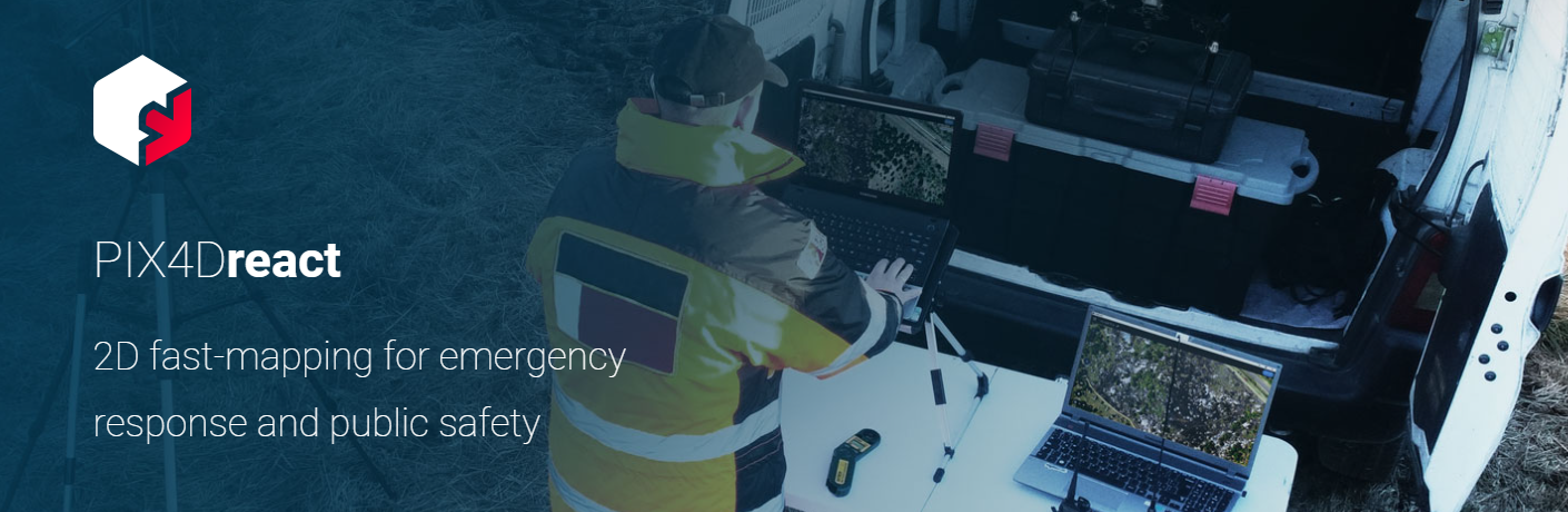

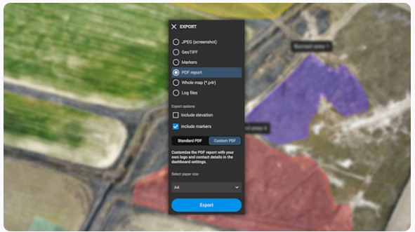
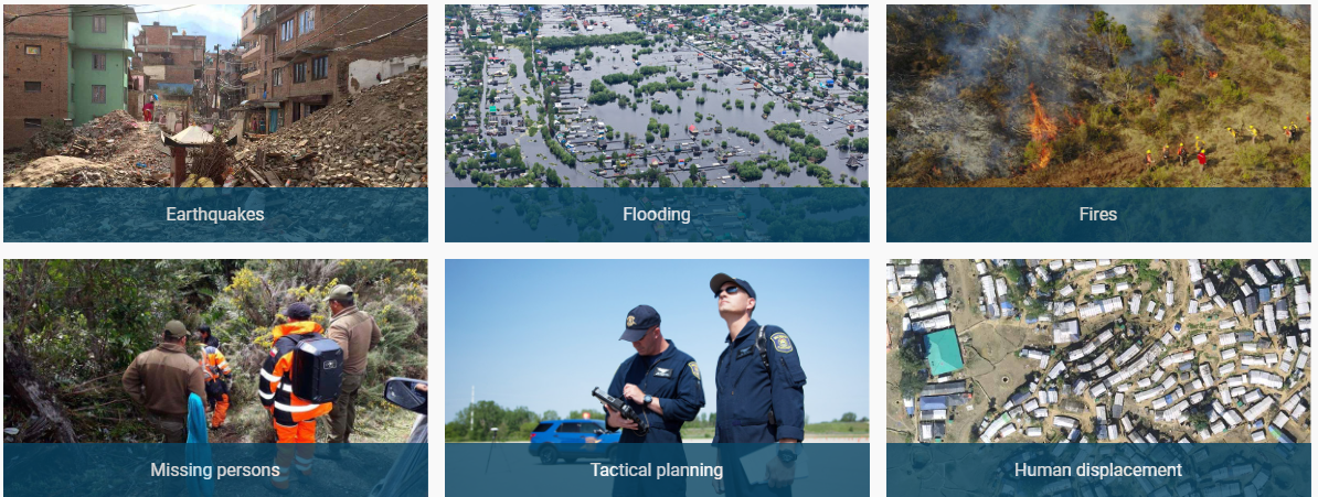
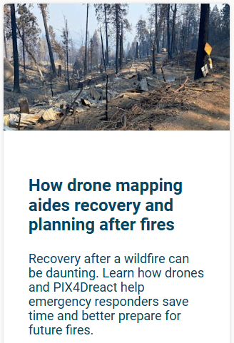


The mapping software for emergency response. Get rapid and reliable situational awareness for quick decisions and collaboration in the field.
![]()

![]()
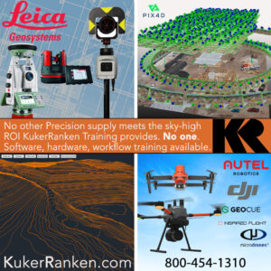
Kuker-Ranken Training: Software, Hardware, Workflow and more. Find out if your business is missing out on features on products you already have.
Kuker-Ranken Incorporated
Seattle | Tacoma | Portland | Salt Lake City | Las Vegas | Boise
www.Kuker-Ranken.com

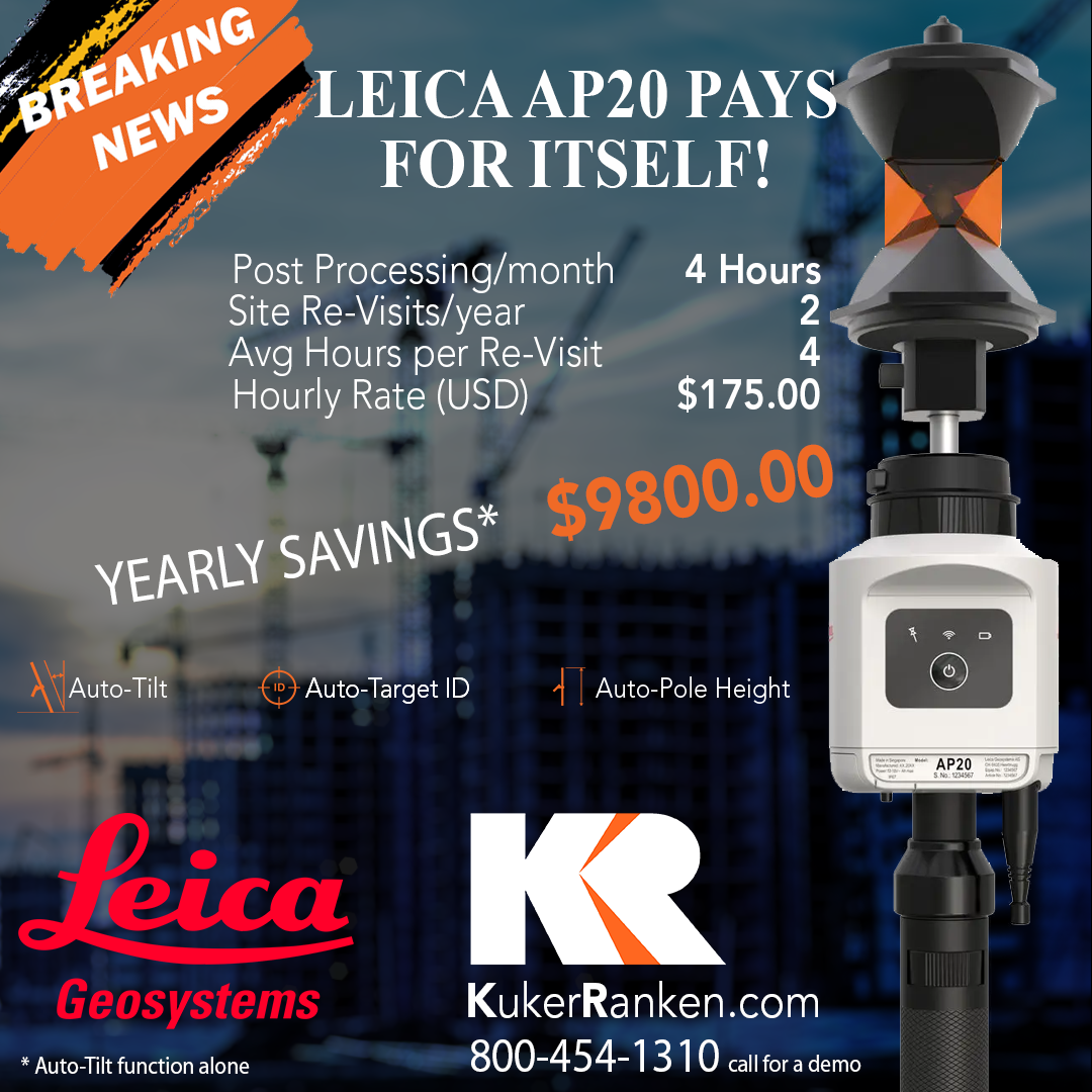
Increase productivity and efficiency with Tilt Compensation, which removes the need to level the pole. Easily overcome on-site obstacles by adjusting the height and tilting the pole to reach a hidden point. The Leica AP20 AutoPole is truly a game changer. Information Request.
Increase productivity and efficiency with Tilt Compensation, which removes the need to level the pole. Easily overcome on-site obstacles by adjusting the height and tilting the pole to reach a hidden point. The Leica AP20 AutoPole is truly a game changer. Information Request.
Increase productivity and efficiency with Tilt Compensation, which removes the need to level the pole. Easily overcome on-site obstacles by adjusting the height and tilting the pole to reach a hidden point. The Leica AP20 AutoPole is truly a game changer. Information Request.
Reviews
There are no reviews yet