
Description
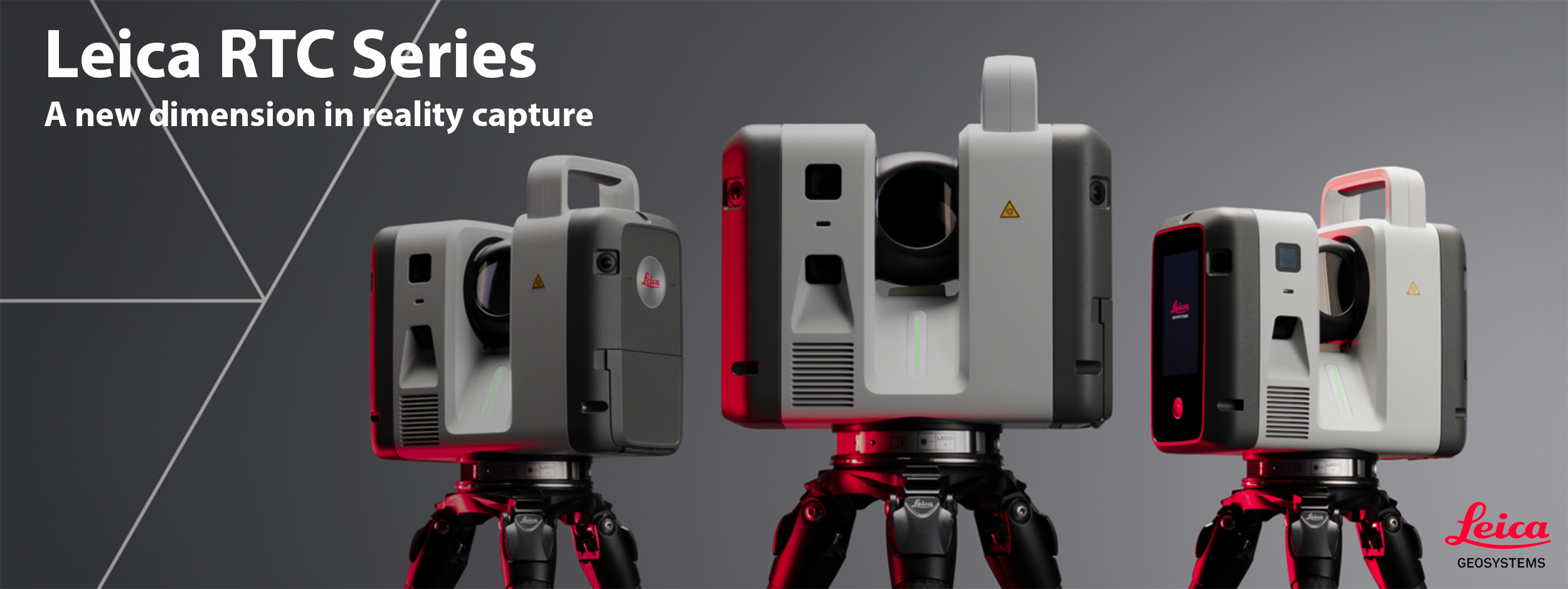


Leica RTC300
Agile reality capture for evolving projects.

Leica RTC500
High-performance scanning with operational flexibility.

Leica RTC700
Maximum range and accuracy for the most demanding work.


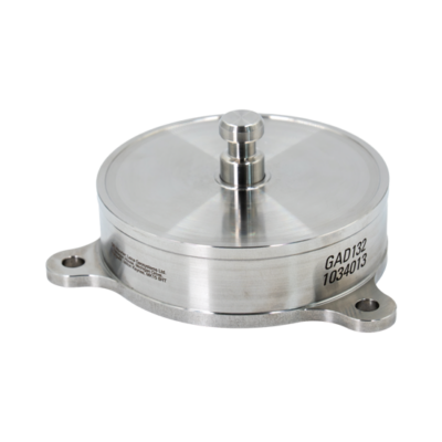
Advanced laser scanning. Real-time intelligence. Your work, made faster than ever. Leica Geosystems has redefined terrestrial reality capture by merging the fast, versatile design of the RTC360 with the rugged robustness and superior millimetric accuracy of the legacy ScanStation P-Series into the all-new Leica RTC series (featuring the RTC300, RTC500, and RTC700 performance tiers). Boasting up to 35% faster data capture than standard market competitors, these high-performance sensors measure up to 2,000,000 points per second at a range extending up to 270 meters.
.
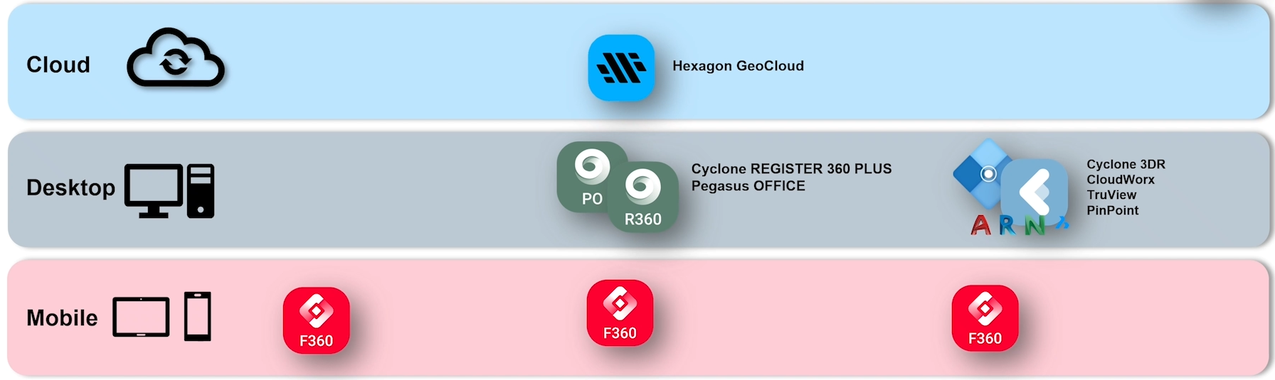
What is Livelink? The true operational breakthrough, however, is the integration of LiveLink within the Cyclone FIELD 360 app. LiveLink enables field crews to stream live 3D scan data to Hexagon GeoCloud in real-time as it is being captured. This unified cloud pipeline bridges the field-to-office gap instantly, letting office engineers perform immediate quality assurance, check for data gaps, and begin working on deliverables long before the survey team packs up their tripods
Additional Information: Leica RTC Series Accessories | Leica RTC Series Software
Experience the power of the new Leica RTC Series firsthand – schedule a live demonstration today and see how faster scanning, automated workflows, and seamless collaboration can transform your reality capture projects. Start the investigation process now and find yourself scanning and delivering finished projects to your customers sooner than you’d think.
RTC300 Laser Scanner
|
RTC500 Laser Scanner
|
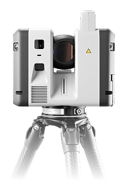
RTC700 Laser Scanner
|
RTC700 Laser Scanner – Surveyor Package
|
*Packages shown are basic setup. Items and quantities are subject to change without notice.
Leica Cyclone REGISTER 360 PLUS and Leica Cyclone 3DR work together as a comprehensive end-to-end solution for laser scanning workflows. REGISTER 360 PLUS serves as the essential first step, utilizing an intuitive “Drag, Drop, Done” interface to quickly register, clean, and verify point cloud data from the field. Once the data is unified, Cyclone 3DR takes over to transform those point clouds into actionable deliverables through AI-driven classification, automated meshing, and advanced inspection tools. Together, these subscriptions bridge the gap between raw field data and professional 3D models or analytical reports for industries like AEC and surveying.
| Weight | 11.7 lbs |
|---|---|
| Dimensions | 4.7 × 9.4 × 9.1 in |


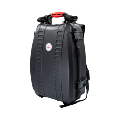
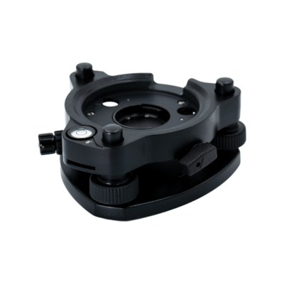


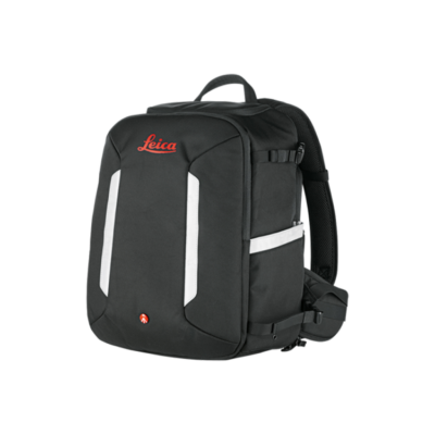
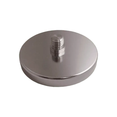
Benefit from the quality, precision and reliability of Leica Geosystems Original Accessories – perfectly suited for Leica Geosystems measuring equipment.

Leica Geosystems Original Accessories now come with unique security codes that guarantee that what you bought is truly a part of the Leica Geosystems complete solution. No other accessories compare to those developed and produced by Leica Geosystems.
Genuine Leica Geosystems Accessories
![]()
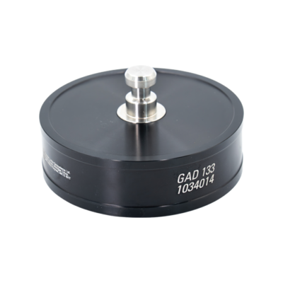
Leica Geosystems Original Accessories now come with unique security codes that guarantee that what you bought is truly a part of the Leica Geosystems complete solution. No other accessories compare to those developed and produced by Leica Geosystems.
Genuine Leica Geosystem Accessories
![]()


Learn the rules and requirements to fly your drone in accordance with the FAA’s Small UAS Rule (Part 107). This certification demonstrates that you understand the regulations, operating requirements, and procedures for safely flying drones.
![]()
Class runs from 8AM – 4PM PDT
Thursday, April 14 & Friday, April 15 2022
Thursday, May 19 & Friday, May 20
Thursday, June 16 & Friday, June 17
Thursday, July 14 & Friday, July 15
Thursday, August 18 & Friday, August 19


Reviews
There are no reviews yet