Description
IQMaps Post Processing Software 5311652
IQMaps is an advanced post-processing software application developed by IDS GeoRadar (a part of Hexagon) to streamline ground-penetrating radar (GPR) data analysis. Designed to handle large-scale surveys like utility mapping, archeological discoveries, and environmental assessments, it functions as a highly responsive bridge between raw radar data and the user. The platform vastly reduces data processing times by utilizing a customizable, step-by-step workflow that accommodates both skilled specialists and entry-level technicians. By offering an immersive 3D visualization space, it enables subsurface surveyors to accurately reconstruct, manipulate, and map dense underground target networks with confidence.
- Intelligent Auto-Detection: Utilizes artificial intelligence cloud algorithms (AiMaps) to automatically locate buried pipes, structural anomalies, and utilities.
- Immersive 3D Tomography: Provides a fast, real-time 3D visualization interface to easily inspect complex, multi-layered subsurface environments.
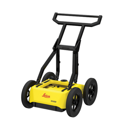
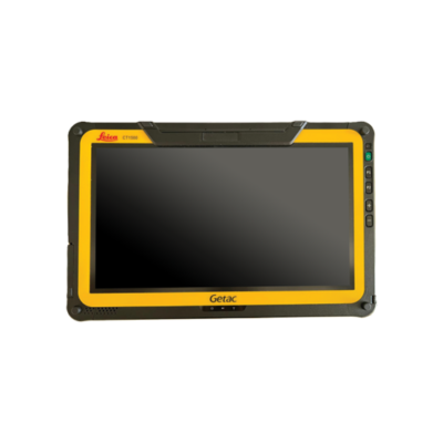
- Cross-Hardware Compatibility: Integrates seamless data processing support across the entire IDS Stream family, as well as Leica DSX and DS2000 GPR systems.
- Multi-Sensor Aggregation: Gathers and combines diverse radar data sets collected by completely different devices into a single unified project map.
- CAD/GIS Data Export: Features direct vector mapping interfaces to seamlessly export identified targets and utility positions into AutoCAD or GIS formats.