


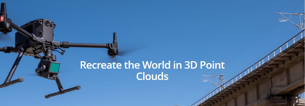
Description
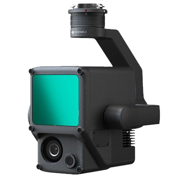
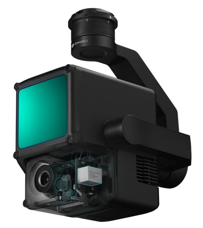
DJI Zenmuse L1 – Lidar + RGB Surveying Solution
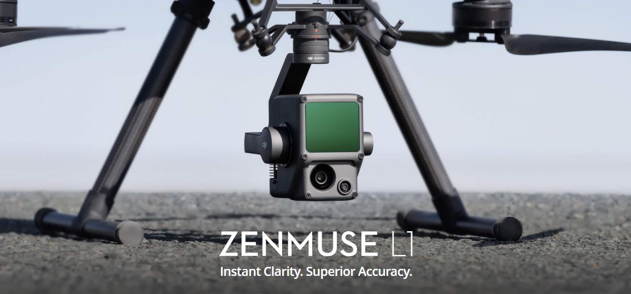
When used with Matrice 300 RTK and DJI Terra, the L1 forms a complete solution that gives you real-time 3D data throughout the day, efficiently capturing the details of complex structures and delivering highly accurate reconstructed models.
 Exceptional Efficiency
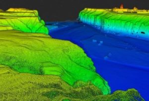
Generate true-color point cloud models in real-time, or acquire 2 km2 of point cloud data in a single flight [1] using the Livox frame Lidar module with a 70° FOV and a visible light camera with a 1-inch sensor.
 Unparalleled Accuracy
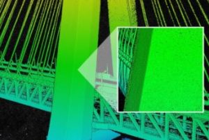
Render centimeter-accurate reconstructions thanks to the high-accuracy IMU, a vision sensor for positioning accuracy, and the incorporation of GNSS data.
 Ready When You Are
The IP54 rating allows the L1 to be operated in rainy or foggy environments. The Lidar module’s active scanning method enables you to fly at night.
Point Cloud LiveView
Real-time point clouds provide immediate insights onsite, so operators are informed to make critical decisions quickly.
You can also verify fieldwork quality by checking point cloud data immediately after each flight.
Measurement and Annotation
Acquire and communicate critical dimensions on the point cloud model using measurements and annotations.
One-stop Post-processing
DJI Terra fuses the IMU and GNSS data for point cloud and visible light calculations, in addition to conducting POS data calculations so you can effortlessly generate reconstructed models and accuracy reports.
Key Features
- Ranging Accuracy (RMS 1σ)2: 3 cm @ 100 m
- Maximum Returns Supported: 3
- Scan Modes: Non-repetitive scanning pattern, Repetitive scanning pattern
- Sensor Size: 1 inch
- Effective Pixels: 20 MP
- Typical: 30 W; Max: 60 W
- IP Rating – IP54
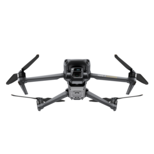
- Supported Aircraft – Matrice 300 RTK
Reviews
There are no reviews yet