


Leica RTC Series
Advanced laser scanning. Real-time intelligence. Your work, made faster than ever.
 Leica Geosystems has redefined terrestrial reality capture by merging the fast, versatile design of the RTC360 with the rugged robustness and superior millimetric accuracy of the legacy ScanStation P-Series into the all-new Leica RTC series (featuring the RTC300, RTC500, and RTC700 performance tiers). Boasting up to 35% faster data capture than standard market competitors, these high-performance sensors measure up to 2,000,000 points per second at a range extending up to 270 meters.
Showing 1–20 of 31 results
-
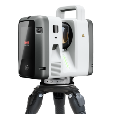
Leica RTC Series
Read more -

Leica GEB461 Battery Li-Ion 973449
$450.00 Add to cart -

Leica GKL311 Battery Charger Pro 3000 799185
$330.00 Add to cart -

Leica GKL341 Charging Station
$1,260.00 Add to cart -

Leica GEV282 Power Supply for ScanStation Px / RTC30 / RTC Series 864640
$495.00 Read more -

Leica GAD120, Tribrach adapter for RTC360 Laser Scanner 842067
$245.00 Add to cart -
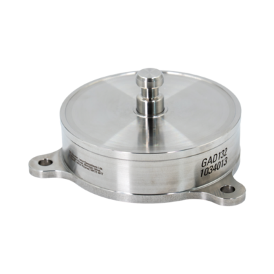
Leica GAD132 Adapter for RTC Series 1034013
$605.00 Add to cart -
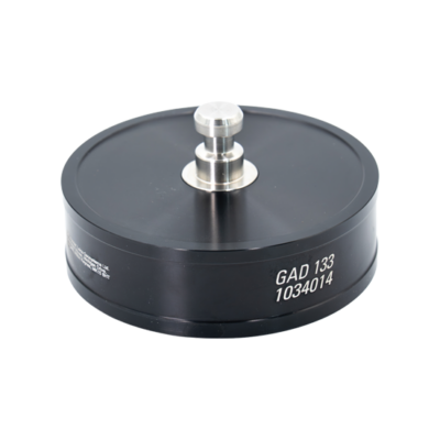
Leica GAD133 Adapter for RTC Series 1034014
$180.00 Add to cart -
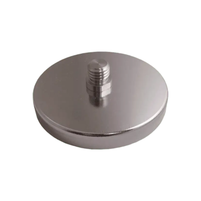
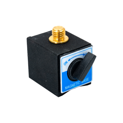
Leica Flat Magnetic Mount with 5/8″ Male Threaded Post
$162.00 Add to cart -

Leica GAD122 RTC360 to Leica Tripod Adapter 870985
$177.00 Add to cart -

Leica Wall Mount Adapter for RTC360 Laser Scanner 842068
$395.00 Add to cart -

Leica GDF323 Tribrach without optical plummet 777970
$425.00 Add to cart -
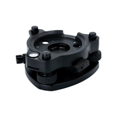
Leica GDF324 Tribrach PRO, w/optical plummet 1042177
$680.00 Add to cart -

Leica GZT21 4.5″ Circular Black & White Target for Leica ScanStation Series.
$470.00 Read more -
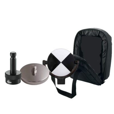
Leica GZT21 Target Package 6009743
$2,923.00 Add to cart -
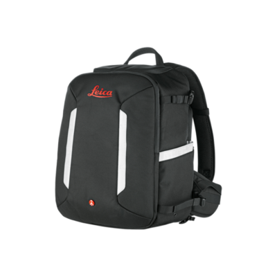
Leica GVP781 Backpack for RTC300/500/700
$460.00 Add to cart -
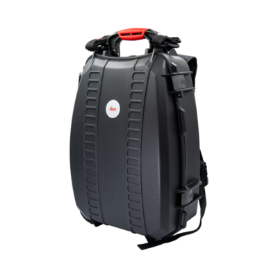
Leica GVP782 Hard-Shell Backpack for RTC300/500/700
$1,130.00 Add to cart -
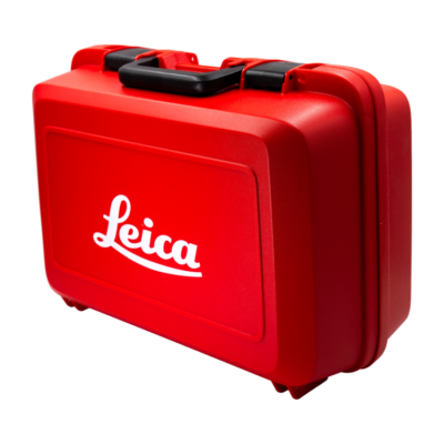
Leica GVP780 Transport Container for RTC300/500/700
$485.00 Add to cart -
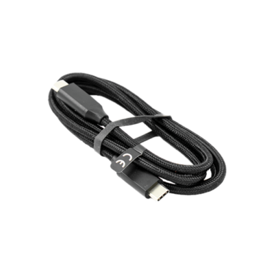
Leica Data Transfer Cable 879634
$36.00 Add to cart -
Leica V-block magnetic mount 670228
$117.00 Add to cart


