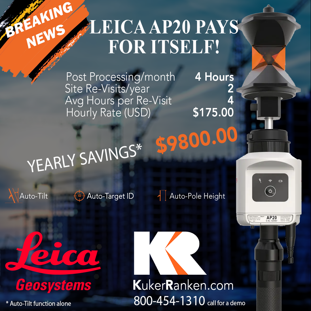
Leica Geosystems Hardware Promotion

Total Stations | Data Collectors | GPS | Scanners
Elevate your surveying capabilities and maximize your savings
with a remarkable limited-time offer from Kuker-Ranken!
For a short window, you can capitalize on a generous 15% discount on all brand-new Leica Geosystems Measuring Sensors, the industry’s gold standard for accuracy and reliability. This exceptional promotion encompasses a comprehensive range of cutting-edge equipment, including state-of-the-art Total Stations, versatile Data Collectors for seamless on-site management, high-precision GPS Systems for unparalleled positioning, and advanced Scanners for rapid and detailed 3D mapping.
But the savings don’t stop there! Take advantage of a 17% discount when you choose the option of payment upon delivery. This unparalleled opportunity is perfect for professionals and firms seeking to enhance their efficiency and productivity. Please be aware that this offer exclusively applies to new measuring sensors, excluding trade-ins and accessories. Don’t delay – this offer is valid for a limited time only, so equip your team with the best and save significantly! *Offers cannot be combined.

Leica Manual and RoboticTotal Stations
Achieve the highest accuracy and reliability with Leica Total Stations that provide superb angle and distance technology and a powerful suite of onboard Apps.
Leica RTC360 Scanners
3D reality capture solution combining a high-performance RTC360 laser scanner and mobile-device app to capture and pre-register scans in real time.
Leica ScanStation P40 Scanners
3D laser scanners are your perfect partner when capturing 3D geometry creating an as-built, reconstructing a crime scene or generating 3D data for integration into (BIM).
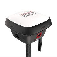
Leica GPS
Leica GNSS smart antennas for surveying and construction: lightweight, tilt compensation, and Visual Positioning options. Seamless integration with Leica Captivate, tablets, and HxGN SmartNet, supported by Leica Geosystems.
To learn more about this offer and receive a formal price quotation tailored to your needs, please contact your local Kuker-Ranken representative. They can provide details about Leica Geosystems equipment, discuss system configurations, answer any questions, and ensure you fully understand the available discounts and payment options.
Kuker-Ranken Leica Geosystems promotion runs through March 31, 2025.


