Description
Leica iCON iCG11 GNSS smart antenna
Dependable GNSS performance, enhanced by visual workflows








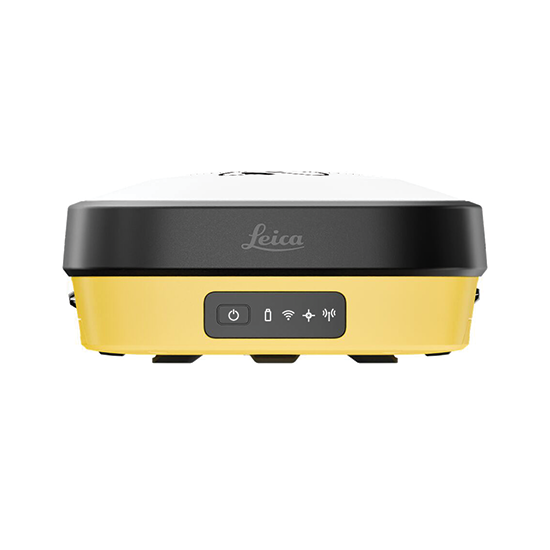
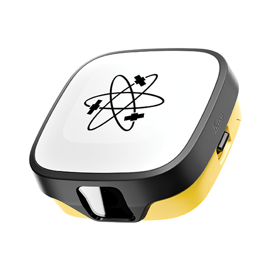
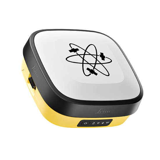

The Leica iCON iCG11 GNSS Smart Antenna combines advanced GNSS positioning with innovative visual measurement technology to improve accuracy, efficiency, and productivity on construction sites. Designed for demanding field environments, the iCG11 delivers reliable positioning, calibration-free tilt compensation, and intuitive workflows with Leica iCON field software. Its advanced capabilities help construction professionals measure, stake out, and verify work with greater speed and confidence.
Key Features:

Dependable GNSS performance, enhanced by visual workflows
| GNSS Channels | 1400+ multifrequency, multi-constellation |
| Satellite Systems | GPS, GLONASS, Galileo, BeiDou, QZSS, NavIC and SBAS |
| Positioning Services | Hexagon SmartNet NRTK and other Network RTK services |
| RTK Initialization | Typically less than 5 seconds |
| RTK Reliability | 99.95% |
| Tilt Compensation | Calibration-free; immune to magnetic disturbances |
| Single Baseline RTK | H: 8 mm ± 1 ppm V: 15 mm ± 1 ppm |
| Network RTK | H: 8 mm ± 0.5 ppm V: 15 mm ± 0.5 ppm |
| Tilt-Compensated RTK | Additional horizontal uncertainty: less than 2 mm + 0.3 mm per degree of tilt, up to 30° |
| Static Post-Processing | H: 3 mm + 0.1 ppm V: 3.5 mm + 0.4 ppm |
| Image Point Measurement | Typically 5 mm + 2 mm/m (2D), up to 10 m |
| Laser Point Measurement | Typically 10 mm + 5 mm/m (2D), up to 25 m |
| Front Camera | 2 MP global shutter, 25 fps |
| Downward Camera | 5 MP rolling shutter, 25 fps |
| Camera Field of View | 80° horizontal / 69° vertical |
| Laser | Green, Class 3R |
| Connectivity | USB-C, Bluetooth 5.0, WLAN, serial interface |
| Wireless Modems | Built-in LTE and UHF |
| UHF Frequencies | 403–473 MHz and 902–928 MHz |
| Field Software | Leica iCON site / iCON build; Leica X-PAD in selected regions |
| Field Controllers | Leica CC200, CC180, CC170; Leica CSX8 and compatible Android devices for X-PAD |
| Internal Storage | Up to 8 GB |
| Data Recording | RINEX up to 20 Hz |
| Battery | Two hot-swappable Li-Ion batteries, 3.35 Ah / 7.2 V |
| Operating Time | Up to 12 hours in GNSS rover mode (non-AR tilt stakeout only) |
| External Power | 10.5–26.4 V DC |
| Dimensions | 167 × 167 × 72 mm |
| Weight | 1.27 kg antenna; 3.50 kg standard RTK rover setup |
| Environmental Protection | IP66 / IP67 |
| Operating Temperature | -30°C to +65°C without camera; -10°C to +60°C with camera or laser |
| Humidity | Up to 95% |
| Drop Resistance | Withstands a topple from a 2 m survey pole onto hard surfaces |
| Feature | iCG11 T | iCG11 I |
|---|---|---|
| Tilt Compensation | Yes | Yes |
| Dual Cameras | No | Yes |
| Laser Measurement | No | Yes |
Specifications are subject to change without notice.
| Weight | 10 lbs |
|---|


Benefit from the quality, precision and reliability of Leica Geosystems Original Accessories – perfectly suited for Leica Geosystems measuring equipment.

Leica Geosystems Original Accessories now come with unique security codes that guarantee that what you bought is truly a part of the Leica Geosystems complete solution. No other accessories compare to those developed and produced by Leica Geosystems.
Genuine Leica Geosystems Accessories

Leica Geosystems Original Accessories now come with unique security codes that guarantee that what you bought is truly a part of the Leica Geosystems complete solution. No other accessories compare to those developed and produced by Leica Geosystems.
Genuine Leica Geosystem Accessories



Learn the rules and requirements to fly your drone in accordance with the FAA’s Small UAS Rule (Part 107). This certification demonstrates that you understand the regulations, operating requirements, and procedures for safely flying drones.

Class runs from 8AM – 4PM PDT
Thursday, April 14 & Friday, April 15 2022
Thursday, May 19 & Friday, May 20
Thursday, June 16 & Friday, June 17
Thursday, July 14 & Friday, July 15
Thursday, August 18 & Friday, August 19