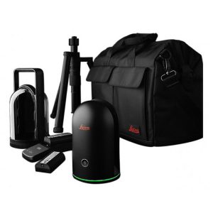


Description
Leica Infinity Survey Office Software
Intuitive office software to manage and process survey data.

Infinity is the user-friendly geospatial office software for the measurement professional. You need to prepare, process and trust the measurement data before using it. This is exactly where Infinity comes to play.
Infinity is designed to manage, process, combine, analyse, quality check and share all field survey data from total stations, digital levels, GNSS systems and UAVs in one software. When different data types come together on a field project – BIM, CAD, GIS, and more – you want to be using software where combining, extracting, generating and exporting this data is effortless. Also, in every phase of the project, Infinity helps you to connect through integrated data exchange services to make moving data much more efficient and leave less room for error.
Whether you are measuring new survey projects or preparing data for construction layout jobs, Infinity is infinitely connected and it supports your workflow.
PREPARE & CONNECT

MEASURE & STAKE

PROCESS & REPORT

SHARE & DELIVER

START SMALL
Modular structure of Infinity makes it easy to scale it to your geospatial software needs. You can start with only the modules and features you need and expand the usage and features any time your project requirements grow. Infinity is available as a subscription and as a perpetual license.
INFINITELY CONNECTED
Every project is unique but different types of data are reality of each of them. Infinity combines, extracts, generates and exports a variety of data types seamlessly. Using integrated data exchange services including Leica Exchange, Leica ConX and those by Infinity data partners makes project work much more efficient and ensures all teams work with the right data.